Land Surveying
Through rigorous quality control procedures, ongoing training, and a commitment to professional excellence, we deliver surveying solutions tailored to the unique needs of every project.

Through rigorous quality control procedures, ongoing training, and a commitment to professional excellence, we deliver surveying solutions tailored to the unique needs of every project.
Surveying is a core service provided by Maurer-Stutz, Inc., supporting nearly every aspect of land development, infrastructure, transportation, and water resource projects. Our primary objective is to provide value through accurate, dependable survey data that serves as the foundation for informed decisions and successful project outcomes.
Whether a survey is the final deliverable or critical data used for engineering and design, our team is committed to providing thorough, precise, and reliable results. We combine experienced professionals with advanced geospatial technology, including GNSS/GPS equipment, robotic total stations, digital data collection systems, hydrographic survey equipment, and unmanned aerial systems (UAS). Through rigorous quality control procedures, ongoing training, and a commitment to professional excellence, Maurer-Stutz delivers survey solutions tailored to the unique needs of every project.
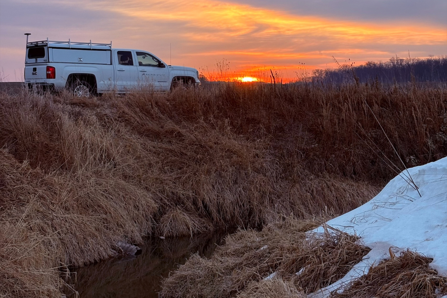
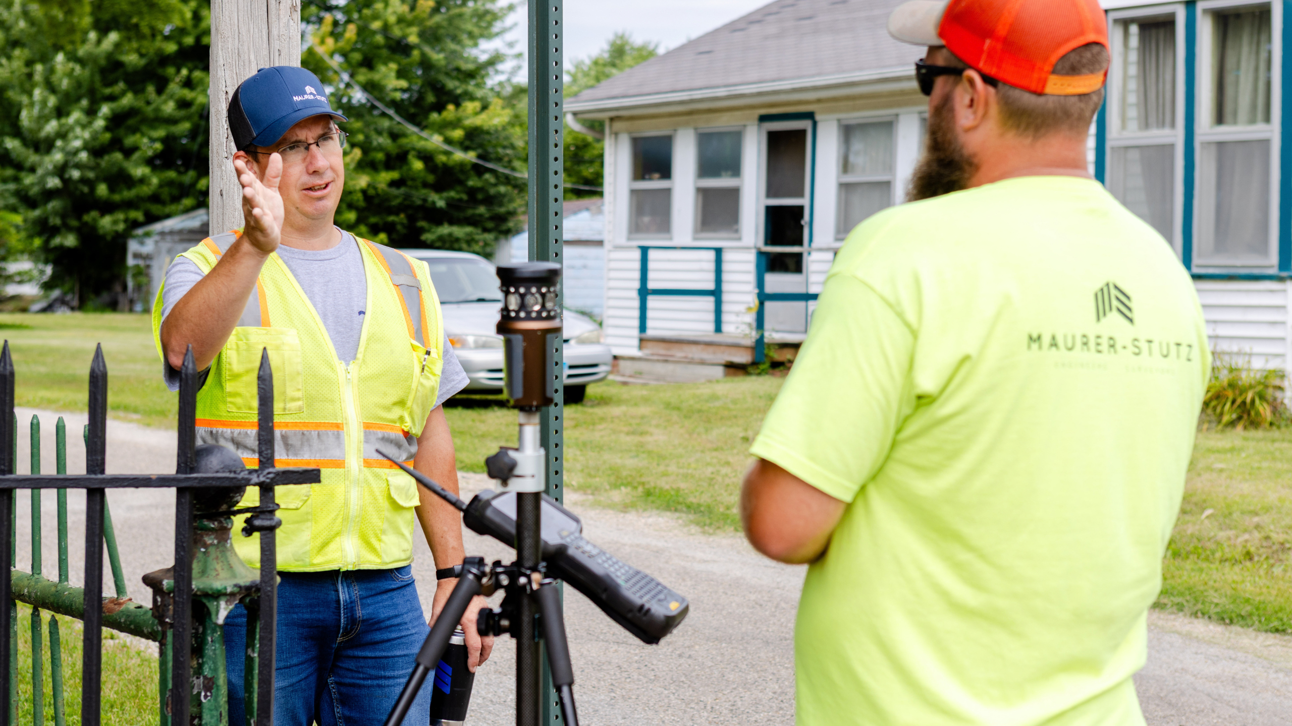
Land surveying establishes property boundaries, supports land development, and provides the legal and physical framework for construction and ownership. Our survey professionals provide accurate, defensible survey data for public agencies, commercial clients, developers, utilities, and private landowners.
Boundary Surveys
Boundary surveys establish the location of property lines and corners through a combination of record research, legal documentation, field investigation, and precise measurements. Property owners often require boundary surveys before purchasing property, constructing improvements, resolving boundary disputes, or identifying potential encroachments.
ALTA/NSPS Land Title Surveys
ALTA/NSPS Land Title Surveys are comprehensive surveys commonly required for commercial real estate transactions. These surveys provide lenders, title companies, developers, and property owners with detailed information regarding property boundaries, improvements, easements, access, and other factors affecting land ownership and development.
Easement Surveys
Easement surveys identify and document access, utility, drainage, and other easement rights affecting a property. These surveys support the creation of new easements, easement acquisitions, utility projects, and easement modification or vacation processes.
Right-of-Way Surveys
Right-of-way surveys establish property interests associated with roadways, transportation corridors, utilities, and public infrastructure. These surveys support roadway improvements, utility expansions, property acquisitions, and transportation projects.
Subdivision and Tract Surveys
Subdivision and tract surveys facilitate the division of land into new parcels for residential, commercial, industrial, or mixed-use development. Our team assists clients through the surveying and platting process while supporting local approval requirements and development objectives.
Construction Staking and Layout
Construction staking translates engineering and design plans into physical reference points in the field. Our survey crews provide accurate layout for buildings, roadways, utilities, site grading, retaining walls, and other project features to help ensure construction is completed according to design specifications.
Topographic and geospatial surveys provide the spatial data necessary for planning, engineering, design, construction, and asset management. These surveys document existing site conditions, terrain, infrastructure, and natural features to support informed decision-making throughout the project lifecycle.
Topographic Surveys
Topographic surveys map existing ground conditions and site features, including elevations, contours, drainage patterns, buildings, pavement, vegetation, and utilities. Engineers, architects, and developers rely on topographic surveys as the foundation for site design, roadway improvements, utility planning, and stormwater management.
Utility Surveys
Utility surveys document visible utility infrastructure and related features that may impact design or construction activities. These surveys assist with utility coordination, infrastructure planning, site development, and project design.
Control Surveys
Control surveys establish precise horizontal and vertical reference points used throughout the planning, design, and construction process. These control networks serve as the foundation for topographic mapping, aerial photography, engineering design, and construction layout.
Hydrographic and Bathymetric Surveys
Hydrographic and bathymetric surveys measure underwater terrain and water depths within lakes, ponds, reservoirs, streams, rivers, and stormwater facilities. These surveys support hydraulic studies, sediment assessments, dredging projects, bridge and dam evaluations, floodplain studies, and environmental investigations.
UAS / Drone Surveying
Using advanced unmanned aerial systems (UAS), Maurer-Stutz provides aerial mapping, orthophotography, progress documentation, inspections, and surface modeling services. Drone surveying allows for efficient collection of high-density data while improving safety and reducing field time on large or difficult-to-access sites.
Surface Modeling and Mapping
Surface modeling services transform survey data into detailed digital terrain models that support engineering design, earthwork analysis, volumetric calculations, drainage studies, and project planning. These deliverables provide clients with accurate representations of existing site conditions for informed decision-making.
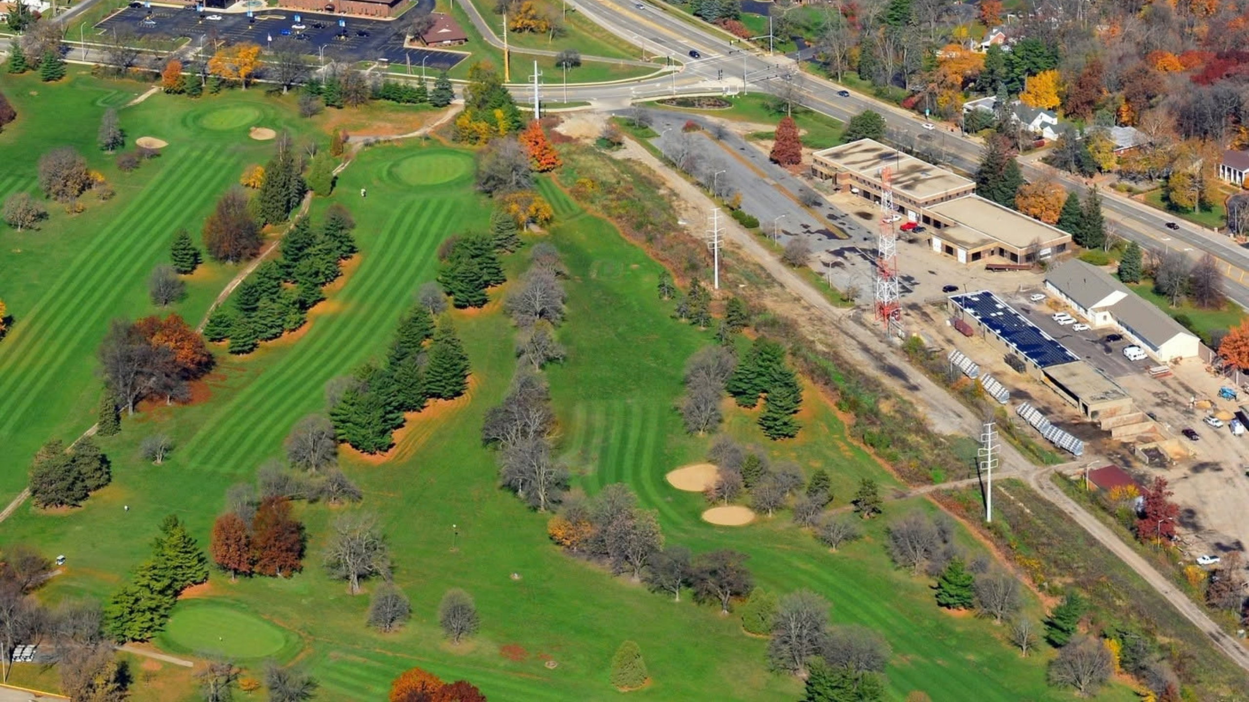
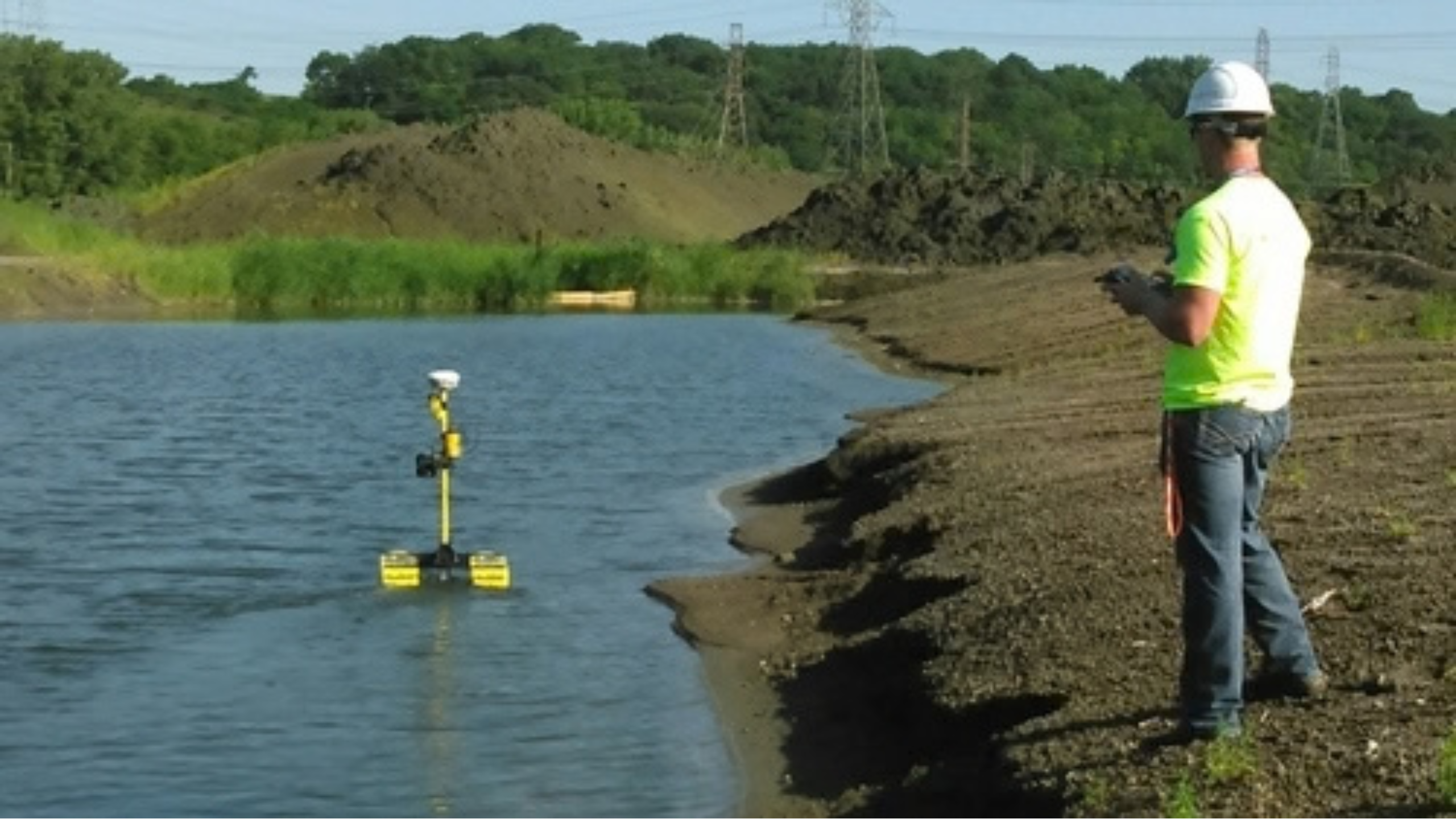
Maurer-Stutz combines experienced professionals with modern geospatial technologies to provide accurate, efficient, and reliable survey solutions. By leveraging advanced technology and proven field procedures, our teams can efficiently collect accurate data for transportation, municipal, utility, commercial, industrial, land development, and water resource projects of all sizes. Our capabilities include:
Not sure which surveying service is right for your project? Here’s a quick guide:
Buying commercial property? → ALTA/NSPS Land Title Survey
Documents boundaries, easements, improvements, and other factors important to lenders, title companies, and buyers.
Building a fence, addition, or resolving a property line question? → Boundary Survey
Establishes property lines and identifies potential encroachments.
Planning a new development or engineering project? → Topographic Survey
Maps elevations, contours, utilities, drainage features, and existing site conditions.
Dividing property into new lots? → Subdivision Survey
Supports the platting and development process for new parcels.
Constructing a building, roadway, or utility project? → Construction Staking and Layout
Transfers design plans to the field for accurate construction.
Evaluating a pond, lake, basin, or stream? → Hydrographic/Bathymetric Survey
Measures water depths and underwater terrain for analysis and design.
Need aerial imagery, mapping, or site documentation? → UAS (Drone) Surveying
Provides aerial photography, mapping, surface models, and project monitoring.