Surveying and Geospatial
We provide precise surveying, advanced GIS solutions, and digital twin technology to help our clients plan their projects, manage assets, and make informed infrastructure decisions.

We provide precise surveying, advanced GIS solutions, and digital twin technology to help our clients plan their projects, manage assets, and make informed infrastructure decisions.
Data-driven insight and precise field measurement that support better decisions. From advanced GIS solutions and digital twins to accurate land surveying, we help clients manage assets, plan infrastructure, and execute projects with confidence.
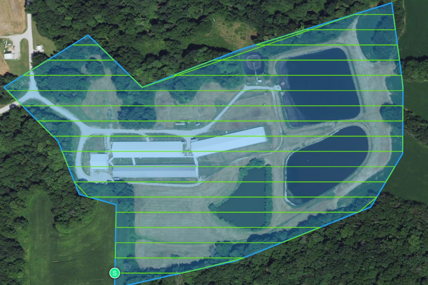
We help municipalities, utilities, and private clients move from static maps to living spatial systems that support daily operations, capital planning, and regulatory reporting.
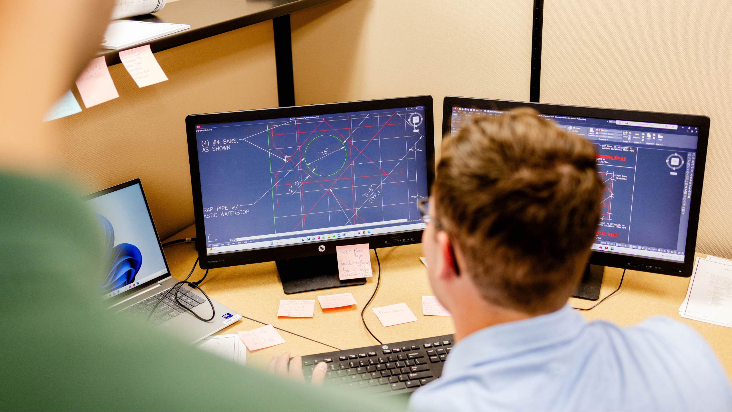
Accurate survey data is the foundation for reliable design and clean construction. Our surveyors work closely with the engineering teams so control, topography, and as-built information are consistent and usable throughout the project lifecycle.