Surveying Support
Surveying is a cornerstone of our services. We offer accurate, technology-driven surveying services that provide the reliable data needed for successful project planning and execution for our clients.

Surveying is a cornerstone of our services. We offer accurate, technology-driven surveying services that provide the reliable data needed for successful project planning and execution for our clients.
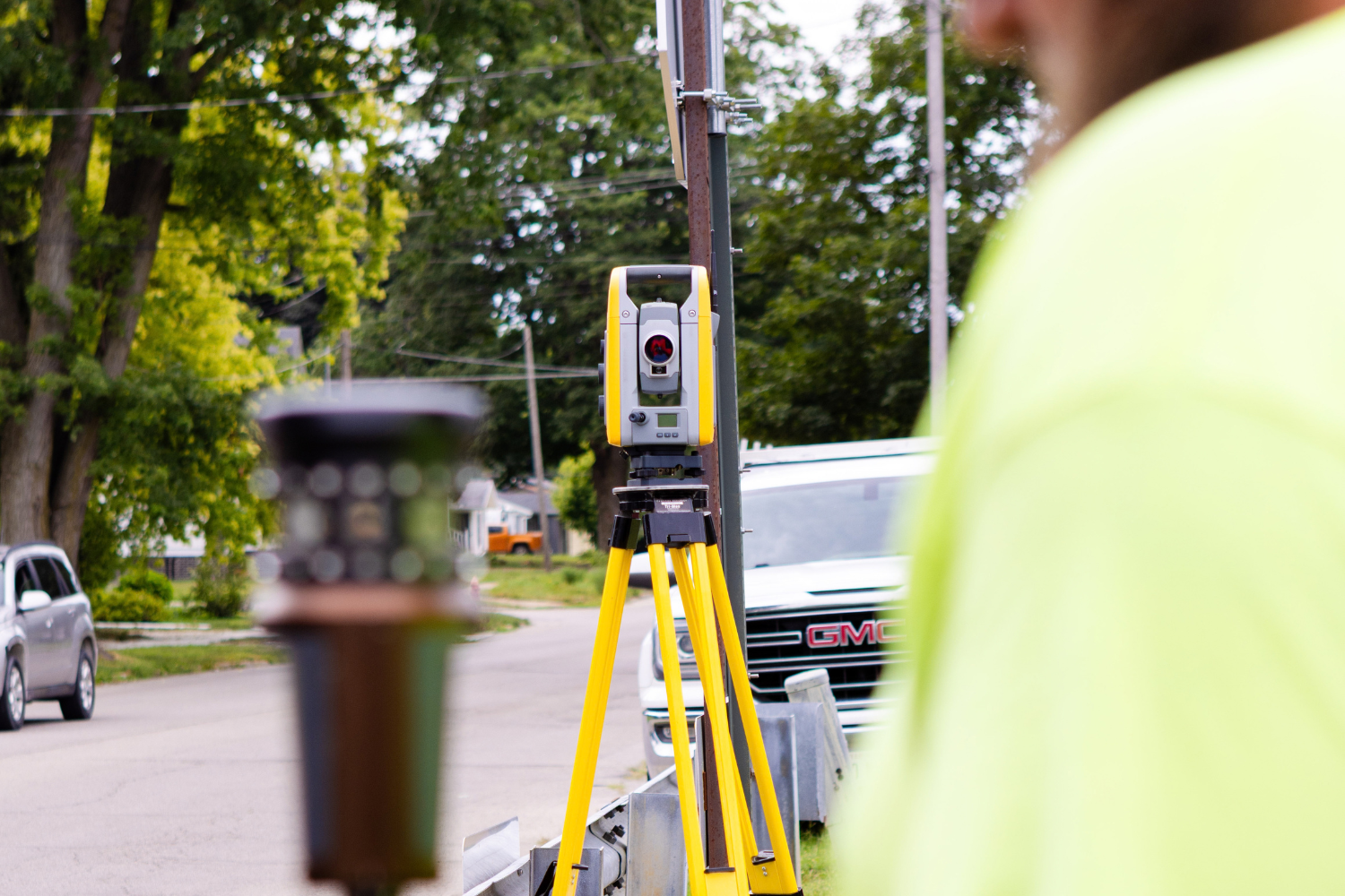
Surveying is a core service provided by Maurer-Stutz, Inc., touching nearly every aspect of our business. Our primary objective is to provide value to our clients. We do this by conducting thorough and accurate surveys for our clients, whether the survey is an end in itself, or data upon which a project is designed. As part of our commitment to provide quality service, we equip survey crews with modern GPS equipment, robotic total stations with scanning capabilities, electronic data collectors, and UAS drones for aerial photography and mapping. Quality control is a high priority. Accuracy and precision are maintained through rigorous field procedures, redundant measurement sampling, and frequent equipment calibration. Our staff has extensive formal education, is active in professional societies, and participates in continuing education. Our crews are trained in using the latest technologically advanced equipment and methods to ensure accurate and precise results for each particular type of survey requested.

A Lot Survey documents the boundaries and improvements of a single parcel, most often a residential or commercial lot within a recorded subdivision. It’s one of the most common surveys property owners encounter, whether buying a home, refinancing, building a fence or addition, or confirming where their property lines fall. Depending on the need, a Lot Survey can take two forms:
Plat of Survey / Boundary Lot Survey
We research the record, evaluate field evidence, and set or recover property corners to establish the legal boundaries of the lot. This is the survey needed before building improvements, resolving a property line question, or applying for a permit. In Illinois, it’s prepared to the Minimum Standards of Practice under the Illinois Professional Land Surveyor Act.
Location (Mortgage) Survey
A simplified drawing prepared from the recorded plat showing lot lines and existing structures. Lenders and title companies commonly require this for residential closings. It’s faster and more economical, but not intended for construction layout or corner marking.
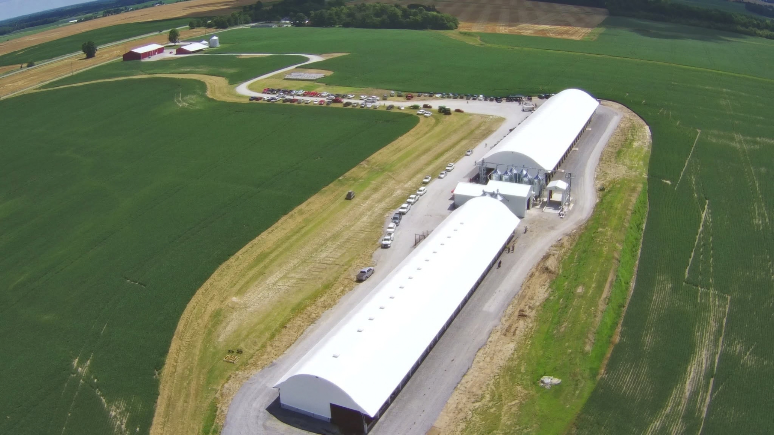
Maurer-Stutz uses unmanned aerial systems (UAS) to collect high-density mapping data quickly, safely, and cost-effectively across sites that would be slow or hazardous to survey on foot. From a single flight we can produce aerial imagery, orthophotography, topographic mapping, 3D surface models, and volumetric measurements, all tied to survey-grade ground control. Program highlights:
Aircraft
RTK-capable multirotor platforms based out of our Peoria office
Pilots
FAA Part 107 certified remote pilots
Positioning
RTK corrections or PPK when conditions call for it
Control and accuracy
Ground control established and checked on every project, deliverables reported to the applicable ASPRS accuracy framework, all operations compliant with 14 CFR Part 107
Typical applications: topographic mapping, stockpile and material volumetrics, orthophotography, construction progress monitoring, inspection of hard-to-access features, and surface models for design and earthwork.