
Conservation Services
The Maurer-Stutz, Inc. Conservation Engineering staff is comprised of various disciplines to provide comprehensive planning and design services to individuals, units of government, drainage districts, developers, or rural properties and others not traditionally served by the consulting community. MSI has considerable experience working with Federal and State regulatory authorities, and can assist with environmental studies and assessments, obtaining financial assistance, State and Federal permit applications, and planning and design of mitigation measures.
Our Services
-
Dam Safety Permits and Inspections
City & County Stormwater/Erosion Control Permits
USACE 404 Permits
EPA Permits
DNR Permits
Technical Services Providers- NRCS Certified
-
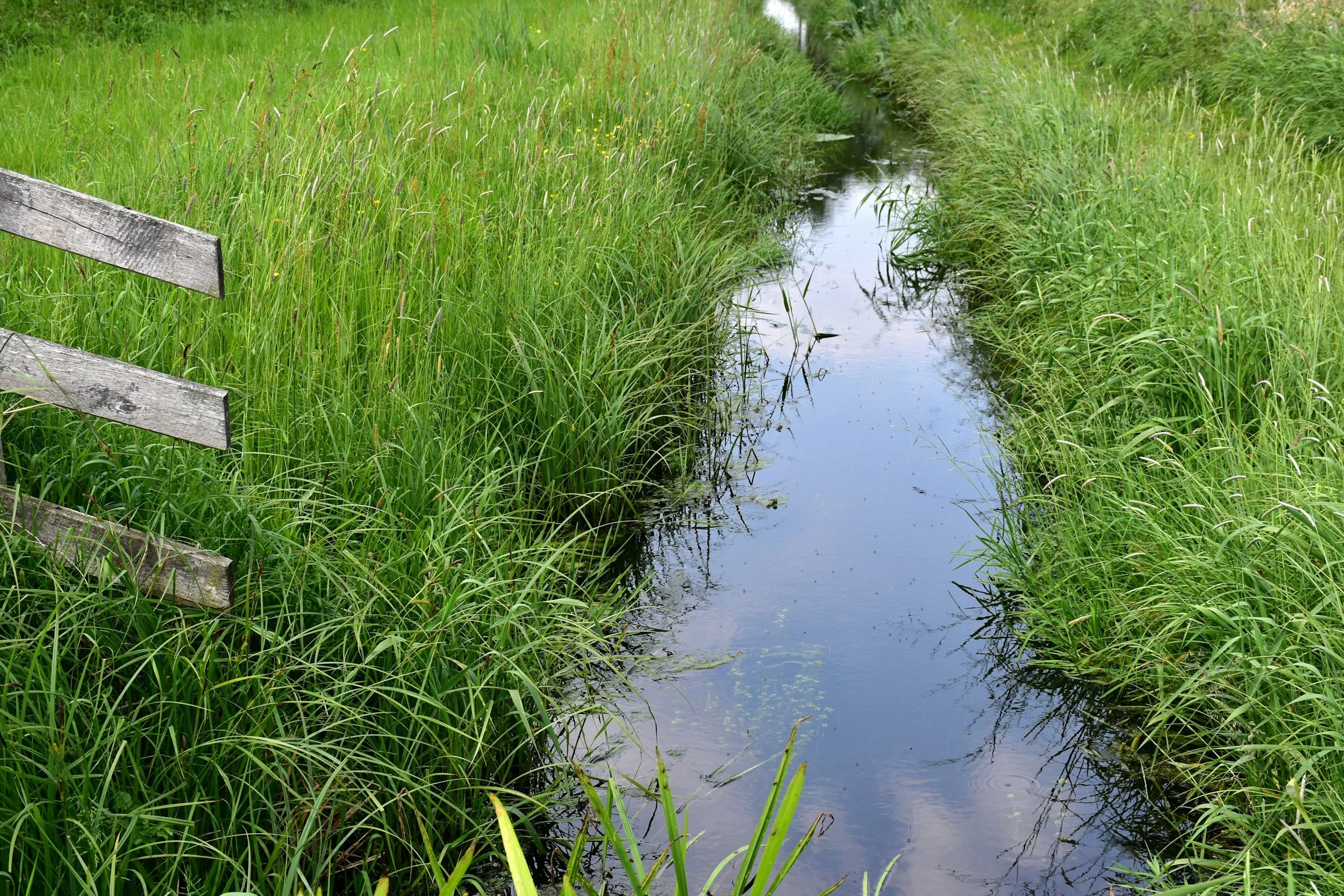
Drainage Water Management
Saturated Buffers
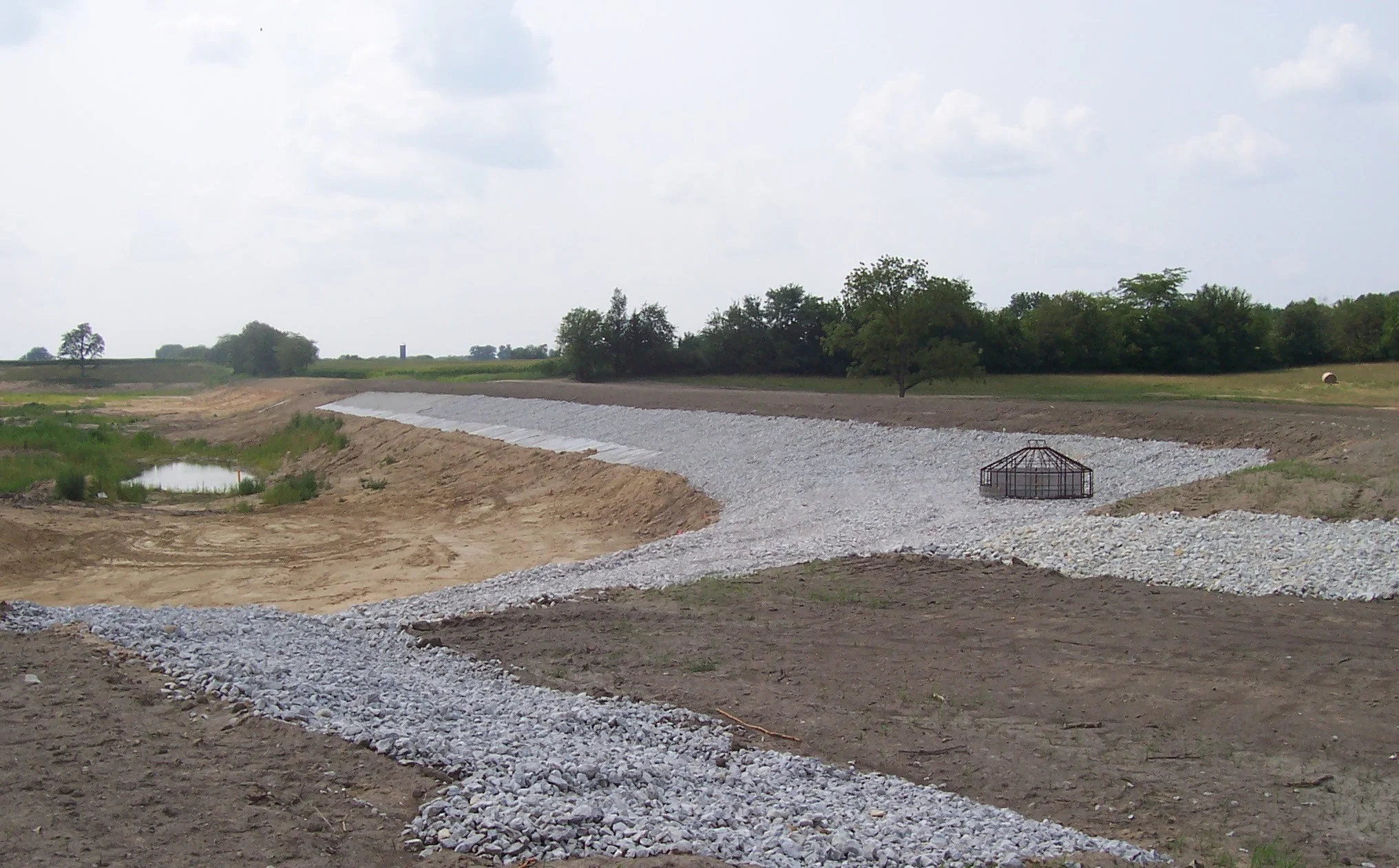
Denitrifying Bioreactors
Constructed Wetlands
-
Storm Water Pollution Prevention Plan (SWPPP)
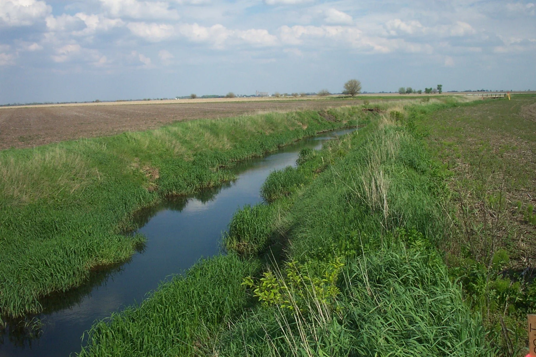
Agricultural Drainage Studies
-
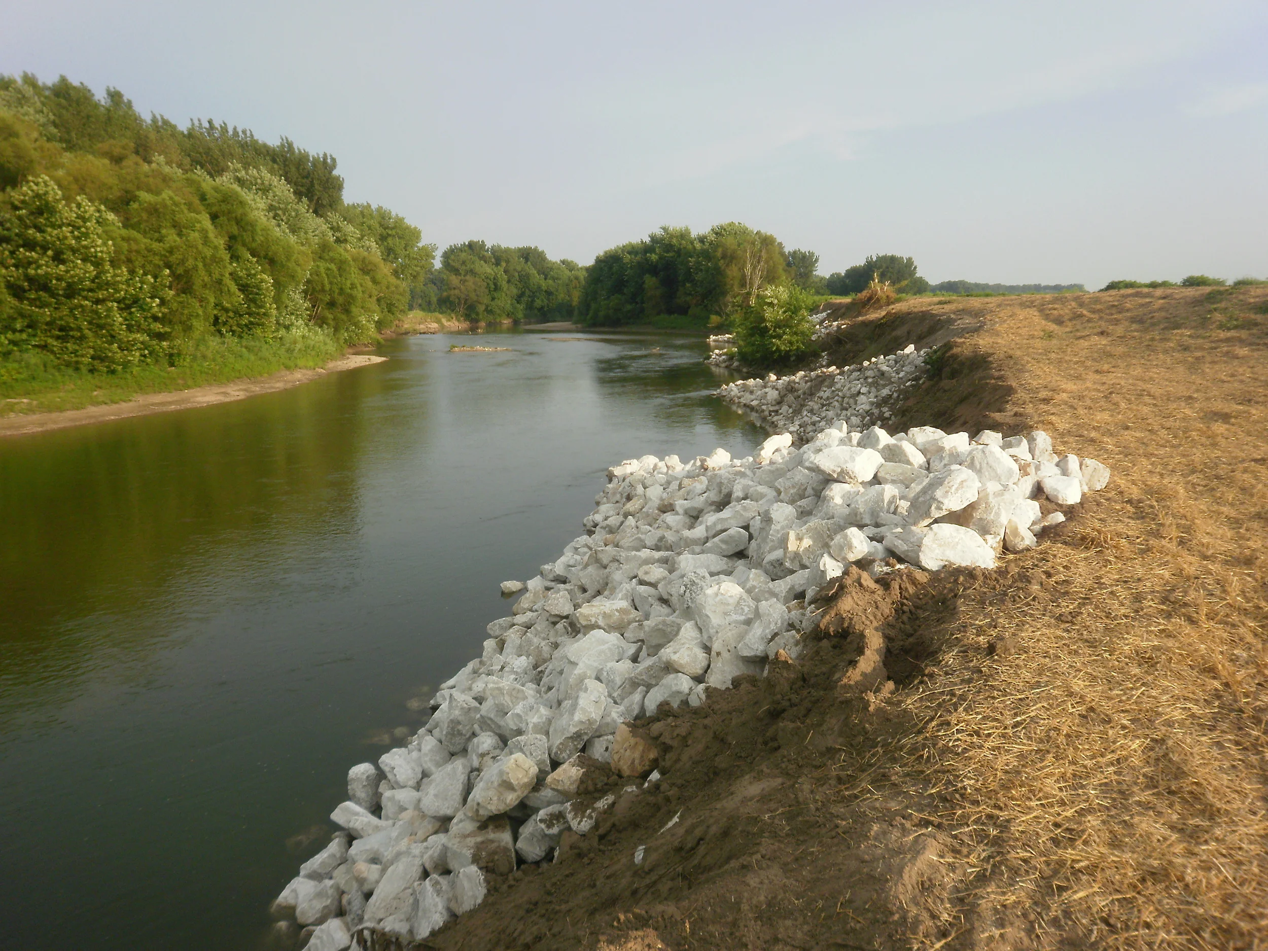
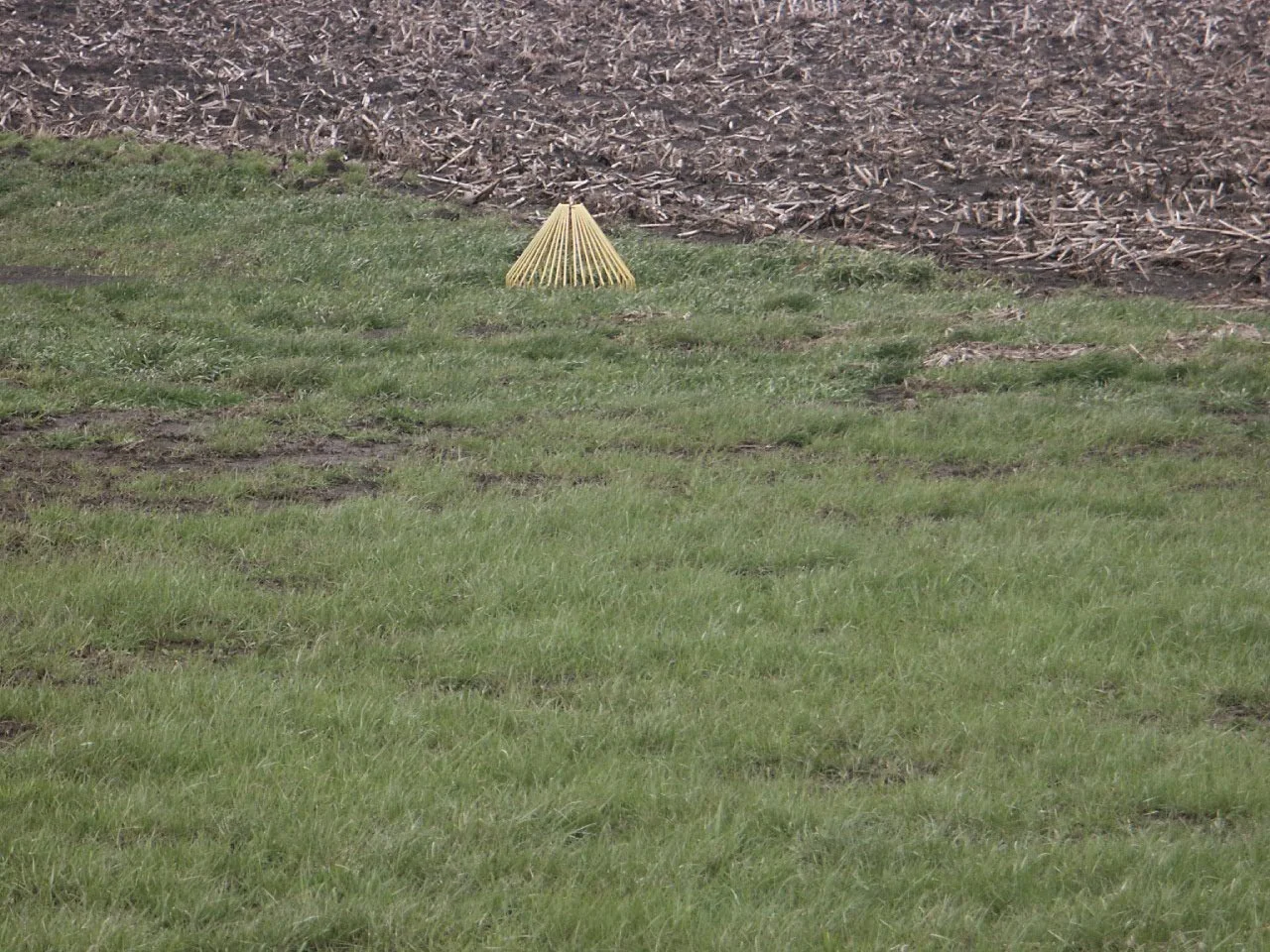
Ephemeral Erosion: Waterways, Diversions, and Surface Drains
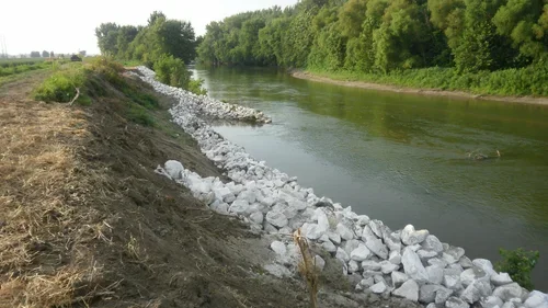
Grade Control Structures: Toe Walls, Block Chutes and Drop Structures
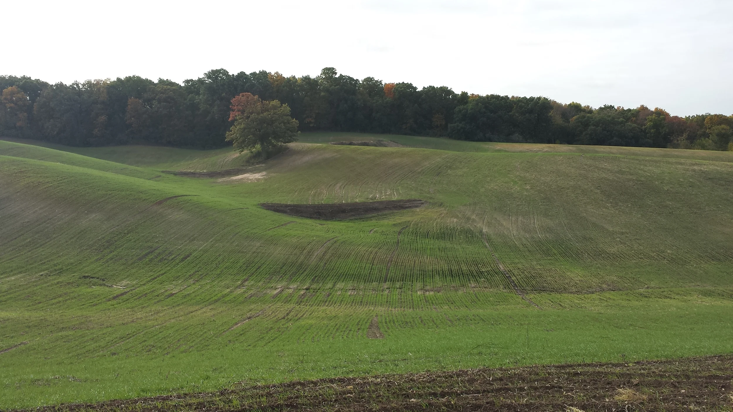
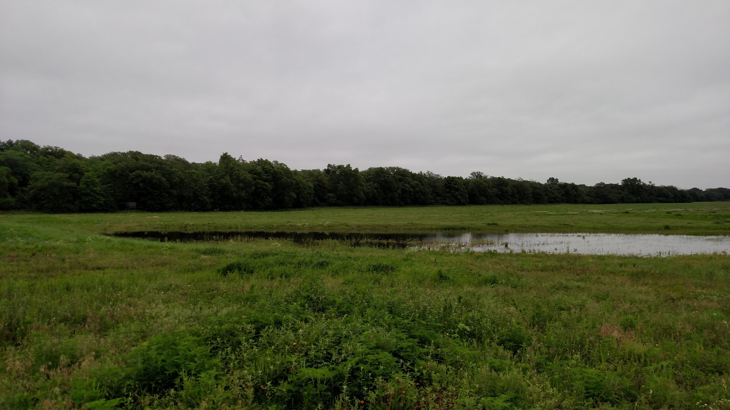
Sheet and Gully Erosion: Terraces, Dry Dams, and Ponds
-
Wetland Creation
Nonprofit Partnerships
-
Agricultural Engineering
Conservation Engineering
Nutrient Management Planning
Storm Water Management/Hydrology/Hydraulics
Geographic Information Systems (GIS)
Land Surveying and Development
Environmental Services
Watershed Plan- Environmental Documents
Modeling- GIS
Dam (Flood Control Structure) Design
Dam Rehabilitation Design
Floodplain Studies
FEMA Floodplain Mapping
LOMARs & LOMAs
Preliminary Investigation Feasibility Reports
Canal & Drainage Ditch Analysis & Design
Green Infrastructure
Bioswales
Permeable Pavement