Survey Services
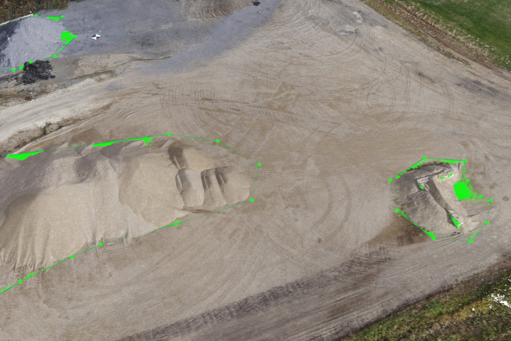
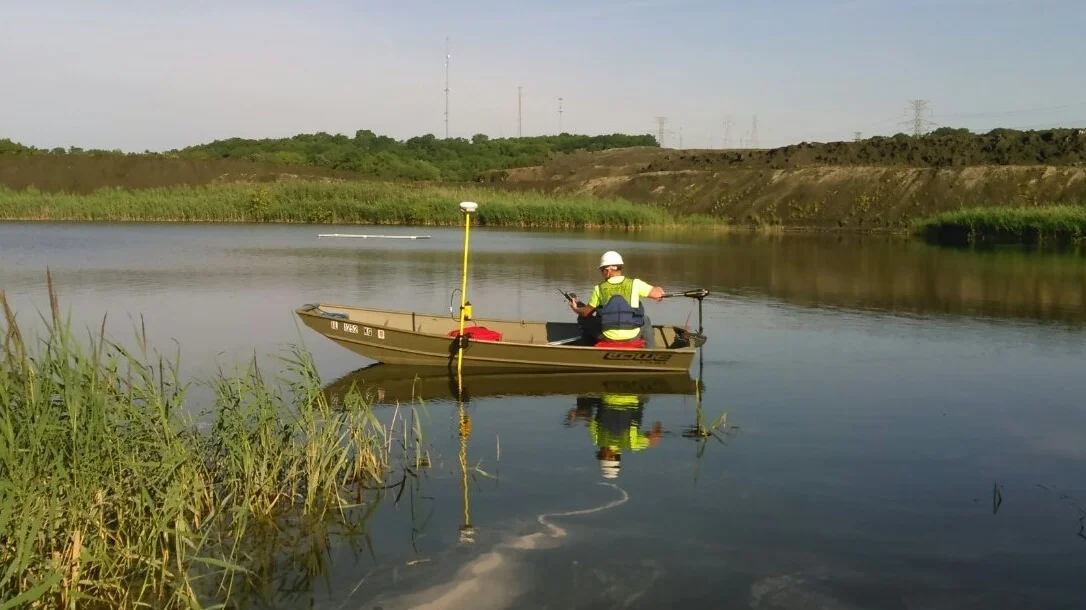
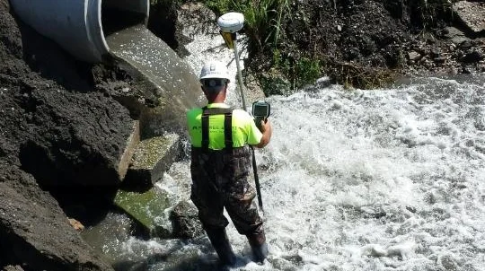
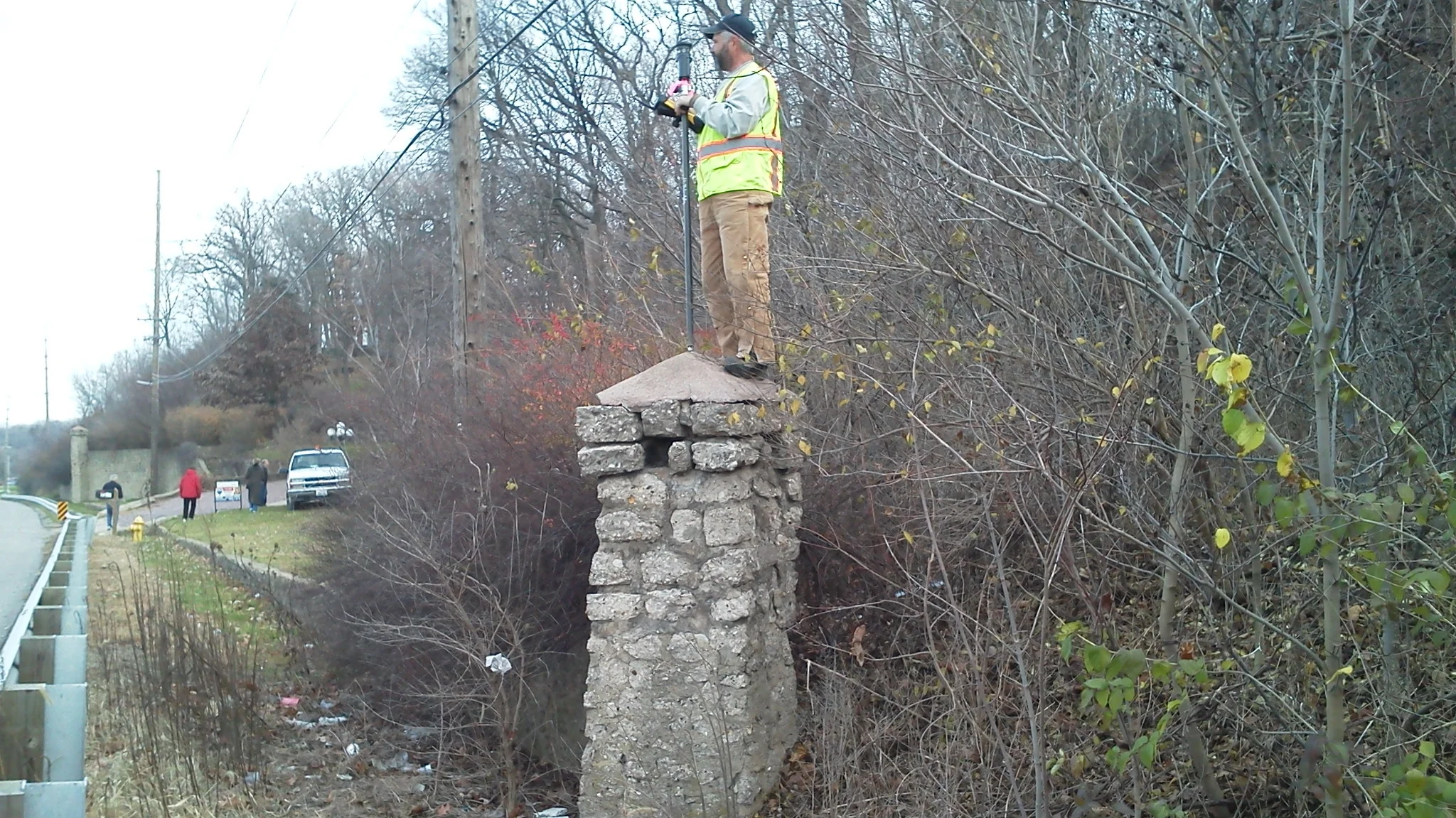
Surveying is a core service provided by Maurer-Stutz, Inc., touching nearly every aspect of our business. Our primary objective is to provide value to our clients. We do this by conducting thorough and accurate surveys for our clients, whether the survey is an end in itself, or data upon which a project is designed. As part of our commitment to provide quality service, we equip survey crews with modern GPS equipment, robotic total stations with scanning capabilities, electronic data collectors, and UAS drones for aerial photography and mapping. Quality control is a high priority. Accuracy and precision are maintained through rigorous field procedures, redundant measurement sampling, and frequent equipment calibration. Our staff has extensive formal education, is active in professional societies, and participates in continuing education. Our crews are trained in using the latest technologically advanced equipment and methods to ensure accurate and precise results for each particular type of survey requested.
Our Services
-
Aerial Target Layout
Site Control Networks
Engineering Projects
Power Plants
Construction Projects
Site Design
-
Surface Model Contouring
Location/Mapping Site Topographical Features
Utilities Mapping
Route Surveys
As-Built Surveys
-
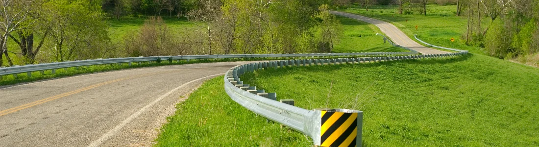
Transportation Projects
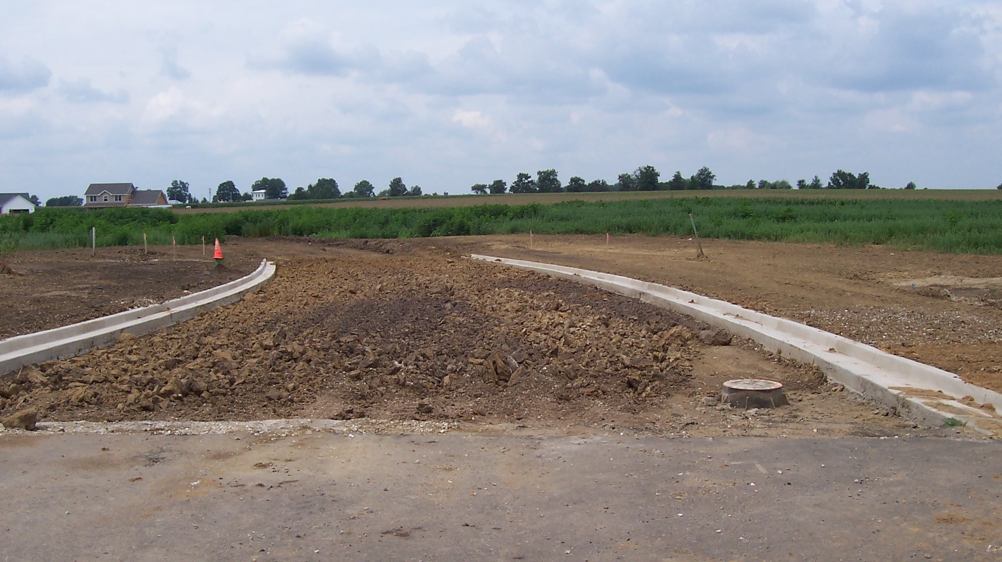
Subdivisions
Structures
Utilities
Landfills
-
Engineering Projects
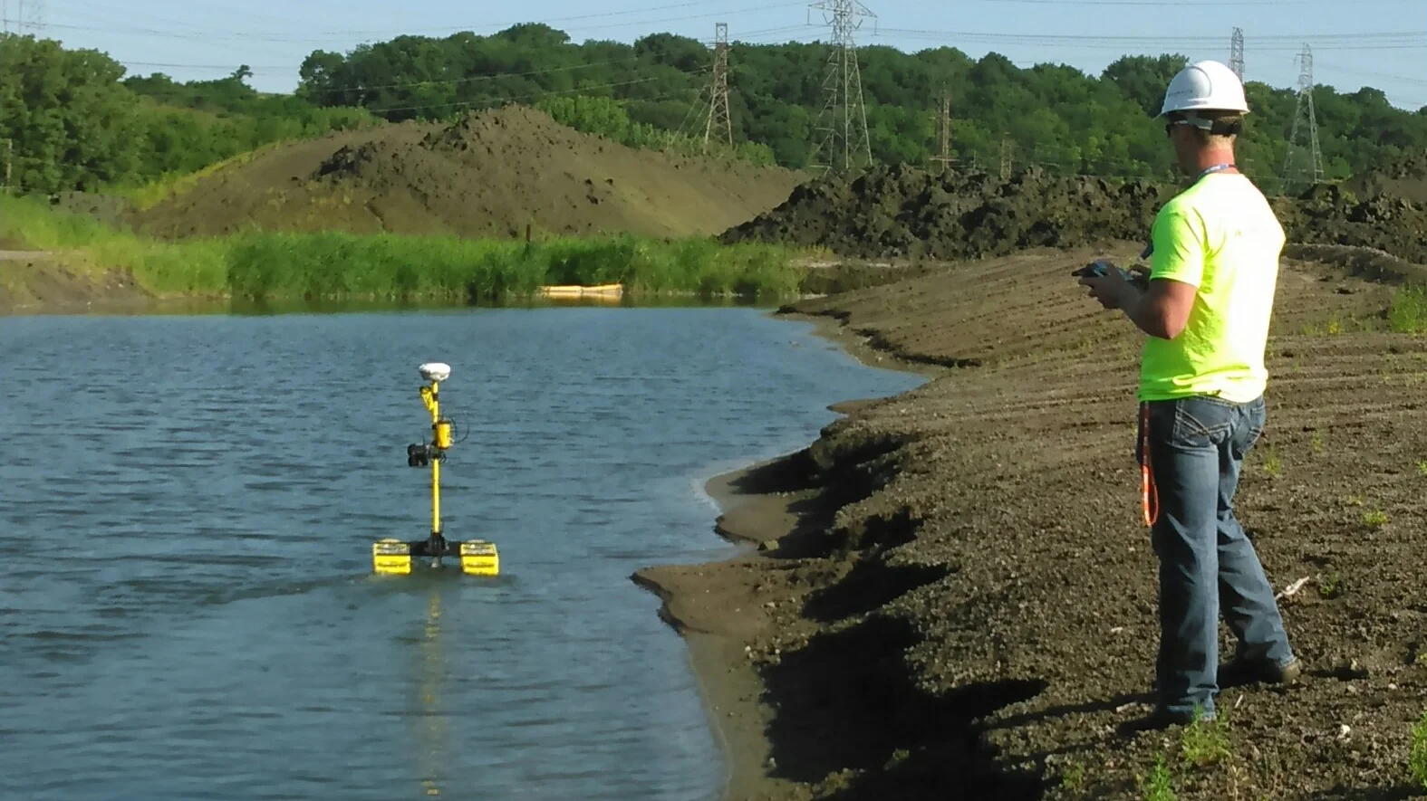
Hydrology Analysis
Dams
Stream Beds
Bridge Openings
Power Plants
Ponds and Basins
FEMA Elevation Certificates and Letters of Map Amendments/Revision
-
Boundary/Property Surveys
Subdivisions and Tract Surveys
ALTA/NSPS Surveys
Roadway Right-of-Way Surveys
Easement SurveysWe provide planning, design, and permitting for livestock facilities, delivering efficient, compliant, and future-ready solutions for beef, dairy, swine, and poultry operations.

Maurer-Stutz Unmanned
Maurer-Stutz Unmanned provides licensed, insured, and experienced Aerial Services. We are capable of meeting many needs by employing comprehensive and safety oriented workflows that are Client-focused, quality and efficiency driven, and bound by integrity. It’s services include:
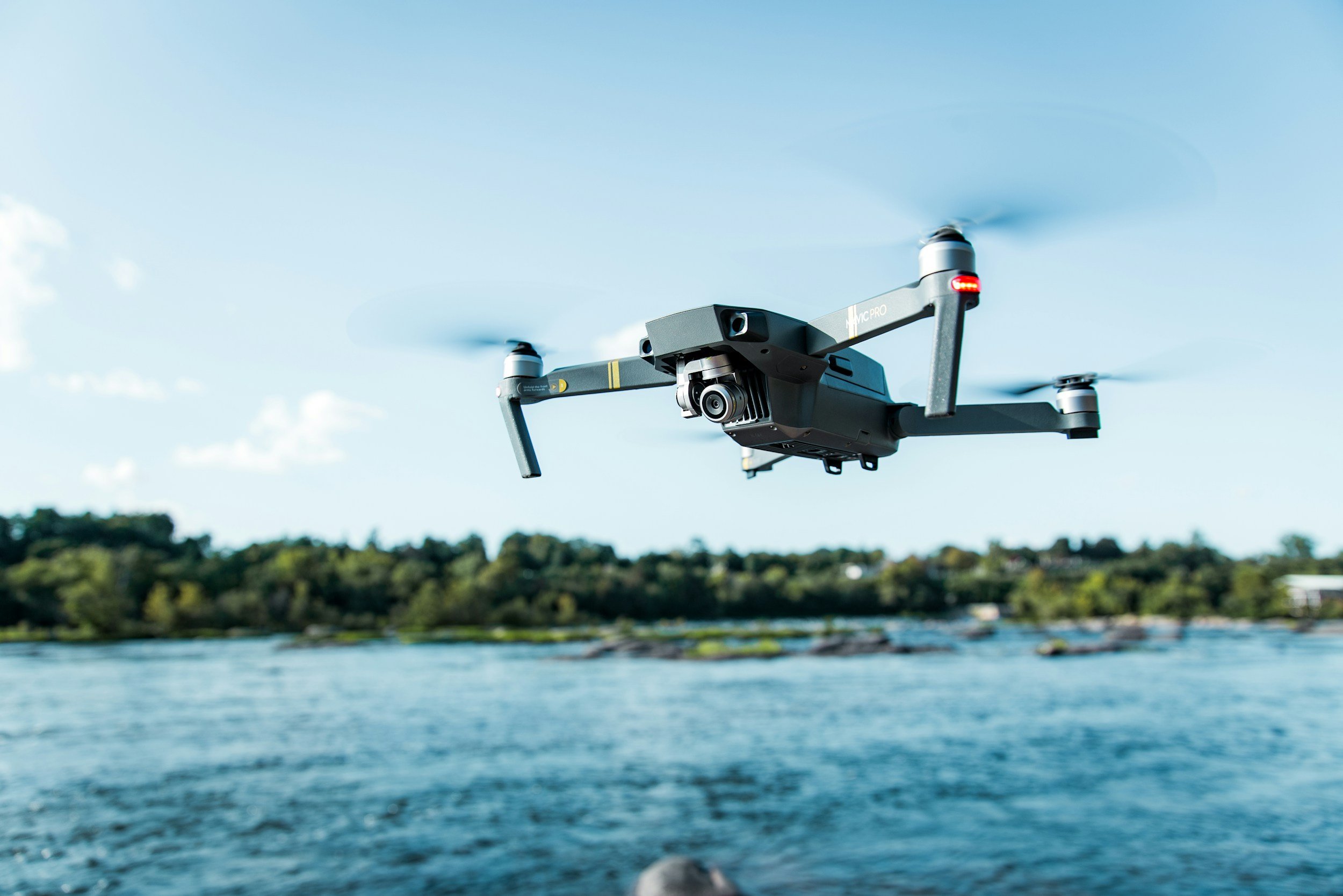
Aerial Surveying
Inspections
Photography
Surface Modeling
Video