
The Use of GIS in Agriculture
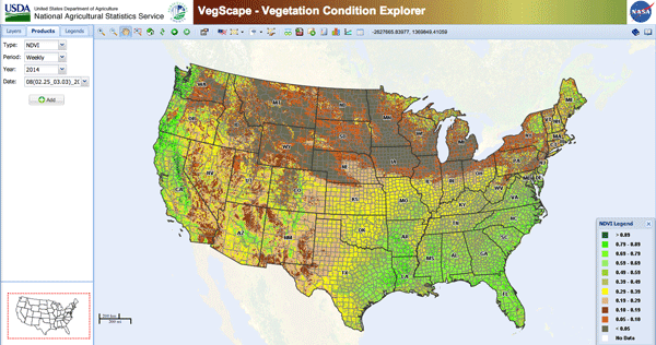
The use of Geographic Information Systems (GIS) in agriculture is an incredibly powerful tool. It can be used for crop management, facilities planning, and a wide variety of other applications.
A great article from the GIS Lounge explains some of the available resources to enhance the use of GIS in agricultural projects and can be found here.
Maurer-Stutz can help you implement mapping with your agricultural application. Please contact Terry Feldman for more information about how we can help with your next project.