
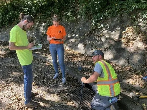
CSO Inlet Inspection / Peoria, Illinois
The City of Peoria initiated a stormwater inlet inspection project to improve flood management and drainage efficiency. Using ArcGIS Field Maps, inspectors were able to collect real-time data on the condition of stormwater inlets throughout the city. The mobile application enabled field staff to seamlessly capture geolocated photos, assess the structural integrity of inlets, and flag maintenance issues directly from the site. This streamlined process improved data accuracy and ensured that updates were instantly available for city engineers and decision-makers.
The integration of ArcGIS Field Maps with Peoria’s GIS system allowed for the rapid identification of problem areas and facilitated efficient scheduling of repairs. Customized forms within the app enabled inspectors to quickly input specific details such as inlet type, blockage levels, and debris type. This enhanced data collection approach not only helped the city prioritize maintenance efforts but also contributed to long-term stormwater infrastructure planning and improved urban flood prevention strategies.

