
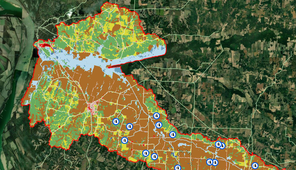
NRCS Dam Assessments / Kentucky, South Carolina
Maurer-Stutz collaborates with the Natural Resources Conservation Service (NRCS) across multiple states to inspect dams and assess their risk levels based on surrounding features. These assessments provide valuable insights that guide decisions on allocating funding to maintain dams effectively.
The Geospatial team leverages various inputs—including land cover, elevation data, streamlines, and the FEMA 100-year floodplain—to develop precise models. By combining GIS technology with hydraulic modeling, we identify streamline refinement regions, pinpoint Potential Damage Locations (PDLs), and create watershed analyses. This process helps us determine which dams pose the highest risk and require the most maintenance and upkeep.

