Maurer-Stutz
  • Home
  • Services
    • Agricultural and Livestock Engineering
      • Livestock Facility Planning and Design
    • Conservation and Natural Resources
    • Site Development and Private Civil
      • Transportation
      • Surveying Support
    • Municipal and Public Works
      • Water Systems
      • Wastewater Systems
      • Transportation
      • Construction Engineering and Observation
    • Structural Engineering
    • Surveying and Geospatial
      • GIS / Geospatial Solutions
      • Land Surveying
  • News
  • About Us
    • Licensure and Prequals
  • Careers
  • Contact
  • Click to open the search input field Click to open the search input field Search
  • Menu Menu

From Maps to Meaning: Celebrating GIS Day

November 11, 2024/in Events/by Maurer-Stutz

Geospatial andgt; The Layer File andgt; From Maps to Meaning

Celebrate GIS Day on November 20, 2024, and Explore the Power of Maps!
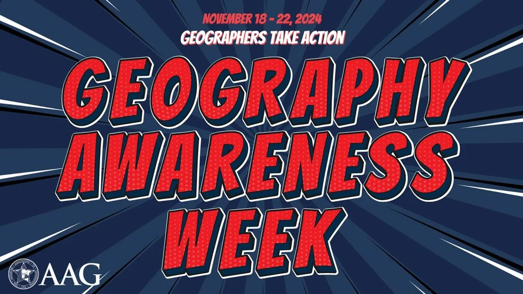
Join us on November 20 for GIS Day, part of American Association of Geographers’ Geography Awareness Week, as we celebrate the impact of Geographic Information Systems in solving real-world challenges! Established by Esri in 1999, GIS Day brings together GIS professionals, students, and curious minds worldwide to showcase how mapping technology helps us understand and improve the world around us. This year, I’m honored to speak at the McLean County GIS Consortium’s event, where we’ll explore the latest in GIS technology, real-life applications, and the future of spatial insights. From interactive exhibits to live demos, the event promises something for everyone, whether you’re a GIS pro or simply fascinated by the world of maps.
GIS Day encourages us all to appreciate geography’s role in our lives and its transformative power, from smart city planning to disaster response. As part of Geography Awareness Week, it’s a perfect chance to learn about GIS and connect with others who are passionate about mapping solutions for a better world. To learn more about the event and register, visit the McLean County GIS Consortium’s page.
Let’s celebrate the role of GIS in building a more connected, informed, and resilient world—see you there!

Tags: Esri, GIS, ISU, Mclean County, Students
https://www.mstutz.com/wp-content/uploads/2024/11/Geography-Awareness-Week.webp 576 1024 Maurer-Stutz https://www.mstutz.com/wp-content/uploads/2026/08/Logo-1030x301.webp Maurer-Stutz2024-11-11 14:12:002024-11-11 14:12:00From Maps to Meaning: Celebrating GIS Day
You might also like
Shared Update is Shared Administration
Ethan Geisler Joins Our Geospatial Team
It’s Official! MSGS and GEOGRAPH Partnership Announcement
Introducing MSGS
Mapping for a Cause
One Year With Engineers
Reinforced Attendance.
Rolling for Initiative at the ITAG Conference
Search Search

Categories

  • Events
  • Geospatial Project
  • GIS Industry News
  • MSGS News
  • Uncategorized

Tags

49" Monitor Admin Aerial Services AGLA announcement ArcGIS ArcGIS Earth ArcGIS Online Basic GIS Cartogrpahy Chattanooga Chicago conferences construction Consulting Dell drones East Peoria employee Enterprise GIS Esri Ethics examples Fiber Fulton GEOGRAPH GIS Hiking ILGISA ISU Jelly Belly Kanban Leadership Maps marketing MSI new Parks Partnership Portal Surveying UAS URISA VSM webgis
  • Home
  • Services
  • News
  • About Us
  • Careers
  • Contact
@2026 Maurer-Stutz. All Rights Reserved. | Privacy Policy
Link to: ILGISA 2024 Recap Link to: ILGISA 2024 Recap ILGISA 2024 Recap Link to: ArcGIS Earth Actually Isn’t That Bad! Link to: ArcGIS Earth Actually Isn’t That Bad! ArcGIS Earth Actually Isn’t That Bad!
Scroll to top Scroll to top Scroll to top