Maurer-Stutz
  • Home
  • Services
    • Agricultural and Livestock Engineering
      • Livestock Facility Planning and Design
    • Conservation and Natural Resources
    • Site Development and Private Civil
      • Transportation
      • Surveying Support
    • Municipal and Public Works
      • Water Systems
      • Wastewater Systems
      • Transportation
      • Construction Engineering and Observation
    • Structural Engineering
    • Surveying and Geospatial
      • GIS / Geospatial Solutions
      • Land Surveying
  • News
  • About Us
    • Licensure and Prequals
  • Careers
  • Contact
  • Click to open the search input field Click to open the search input field Search
  • Menu Menu

Peoria only sees ‘Moderate Flooding’ so far
February 27, 2018/in Uncategorized/by Maurer-Stutz

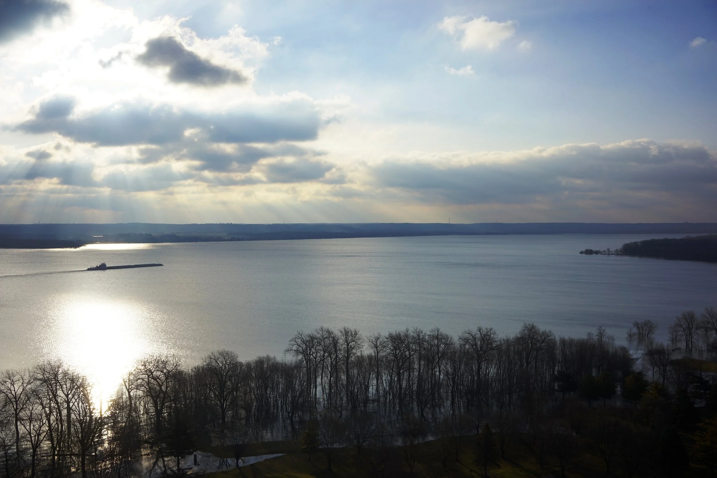
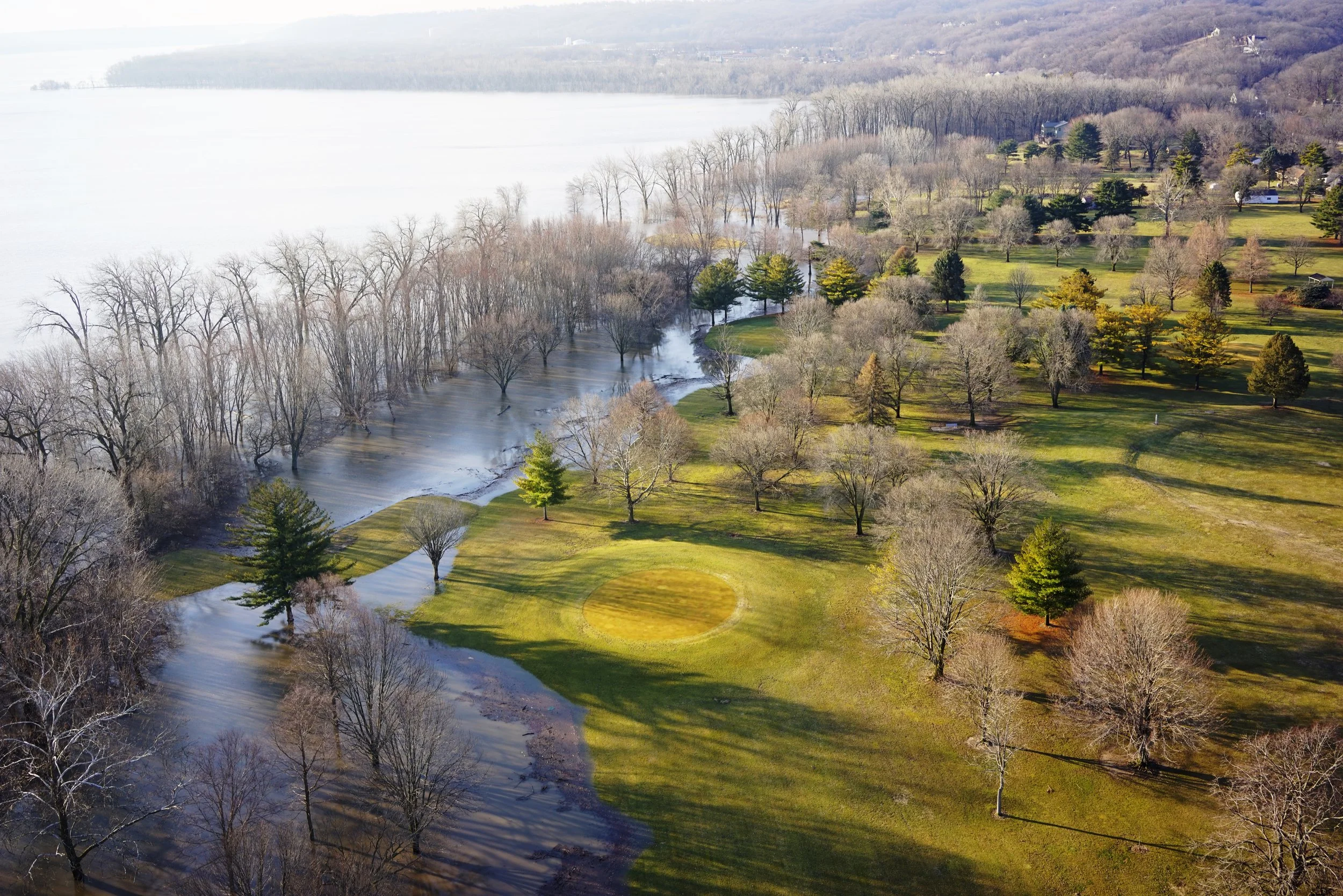
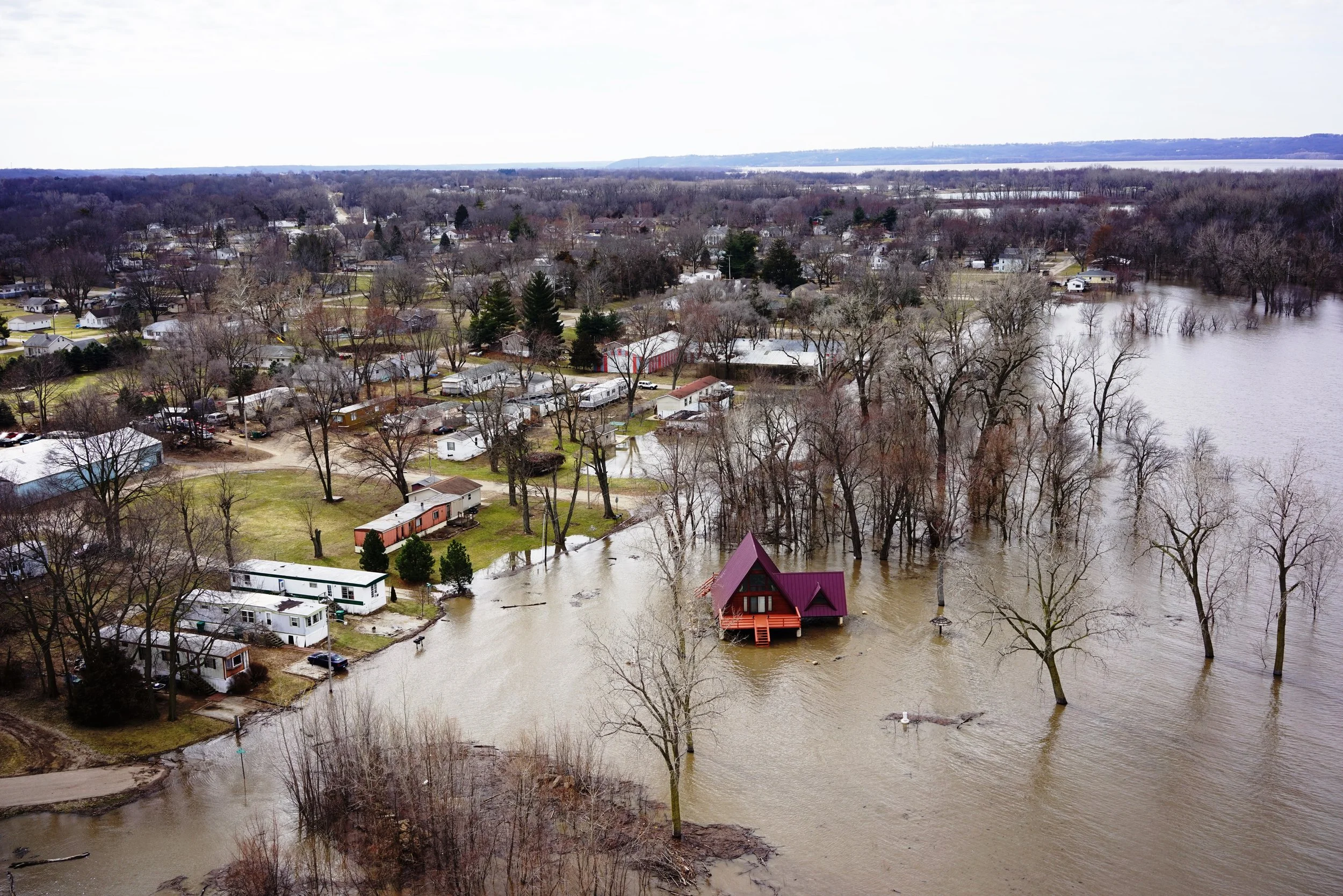
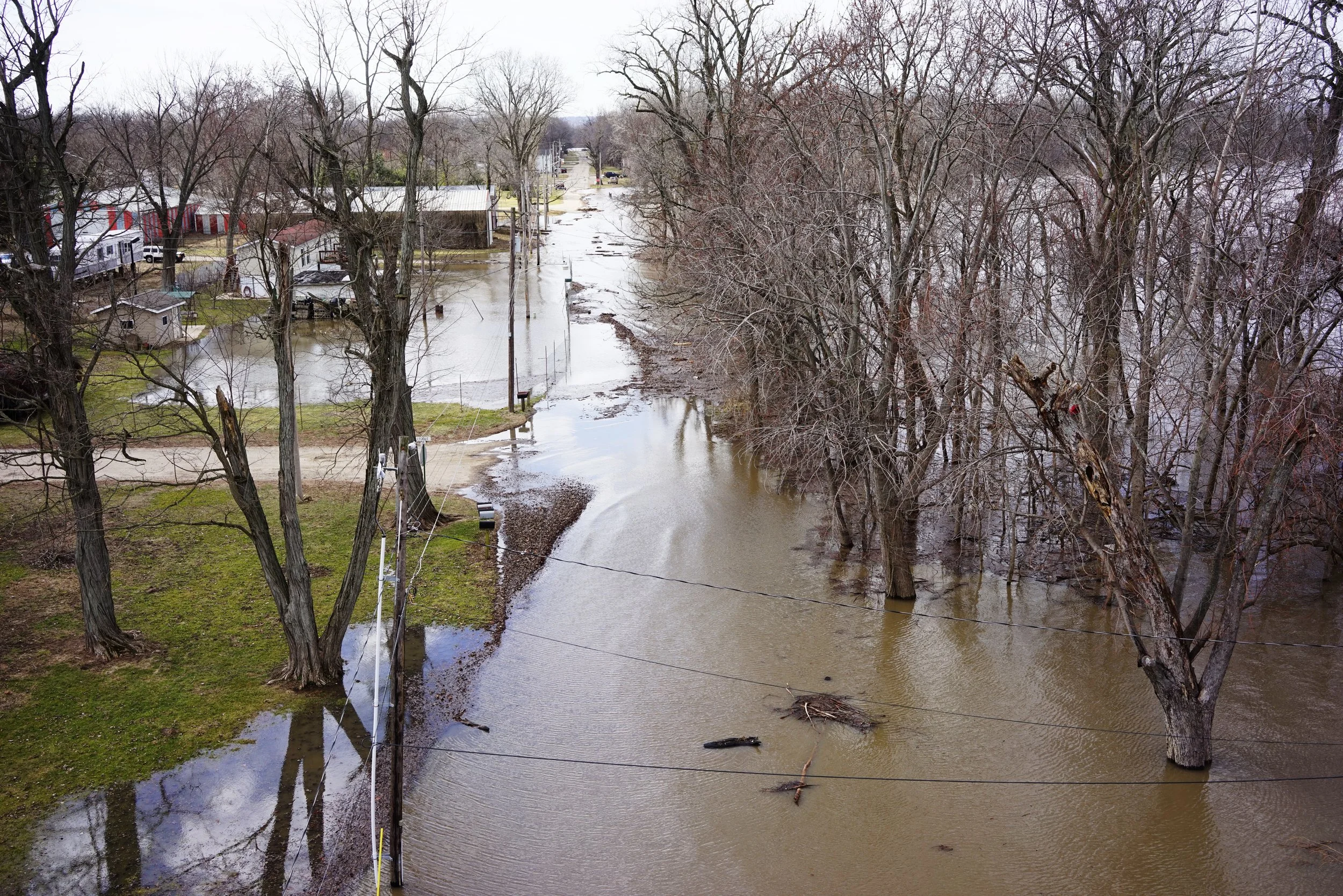
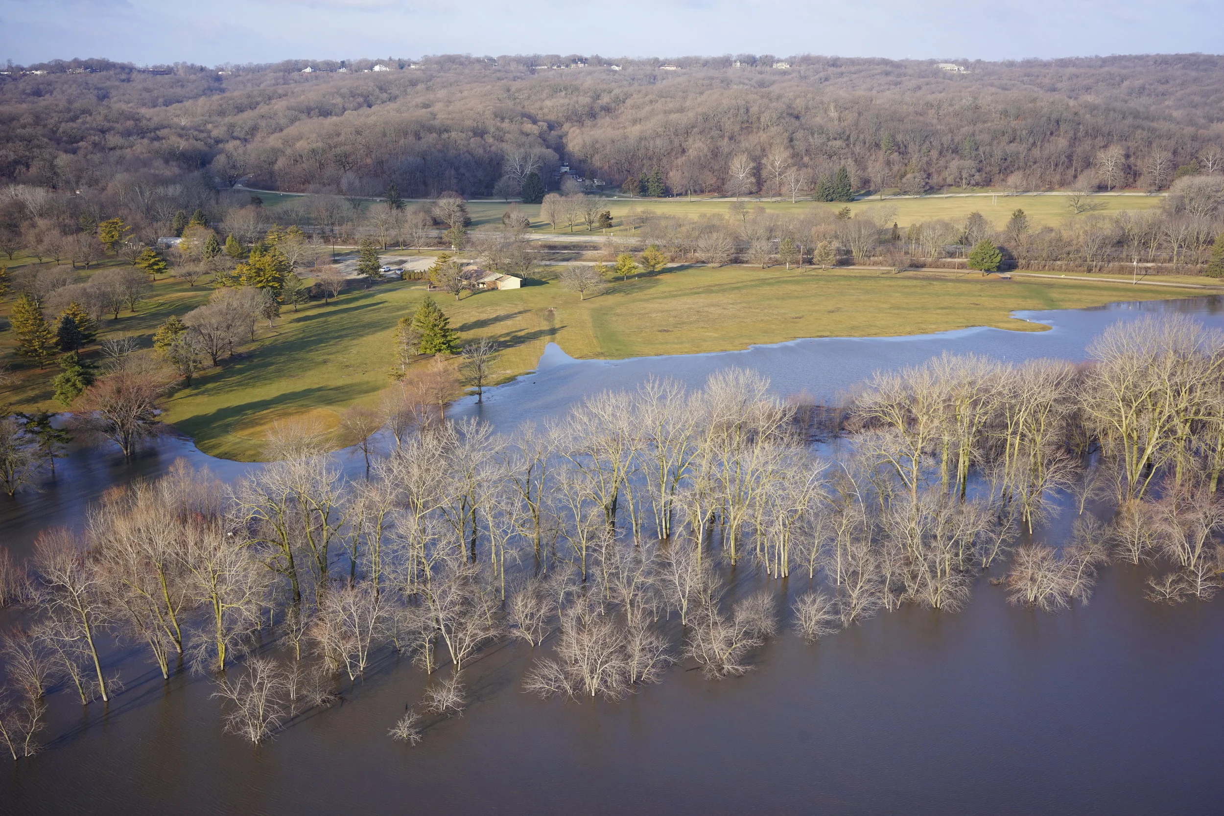
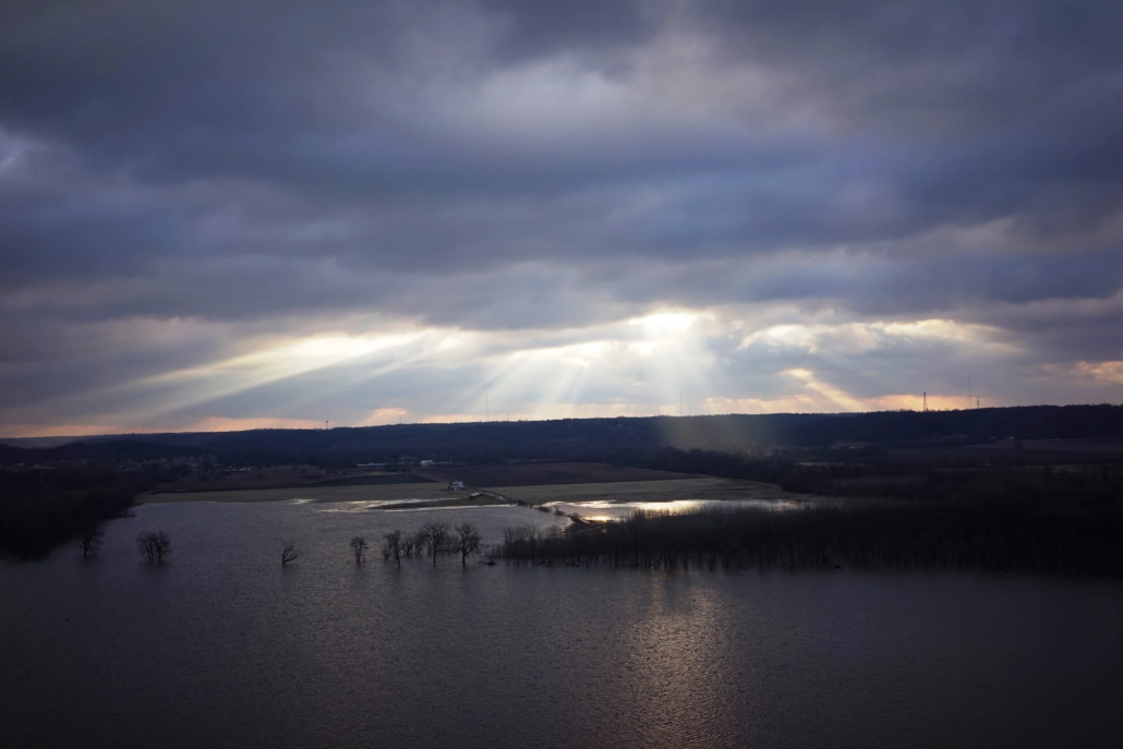
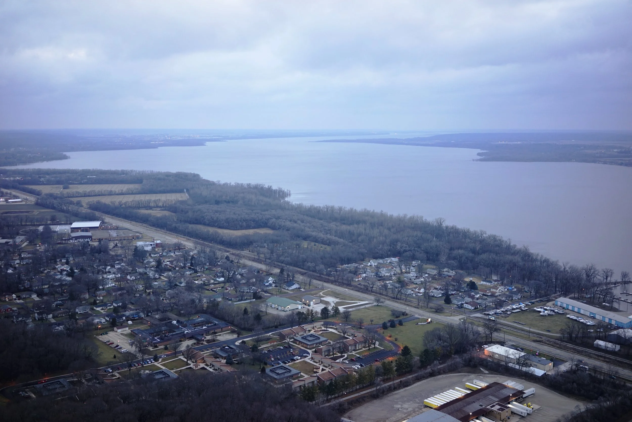
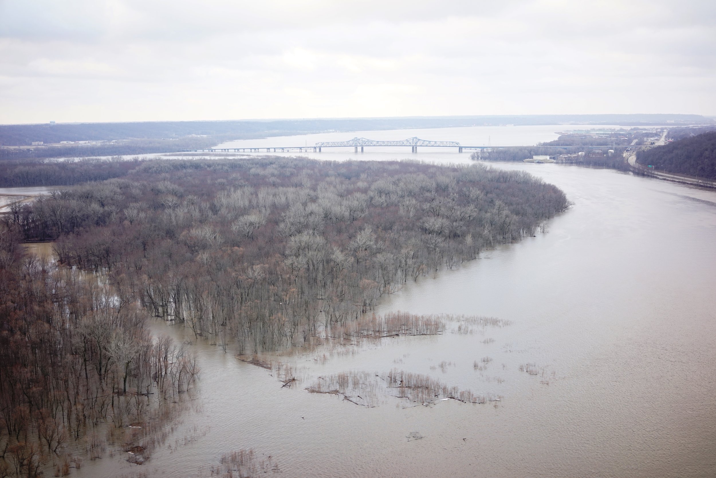
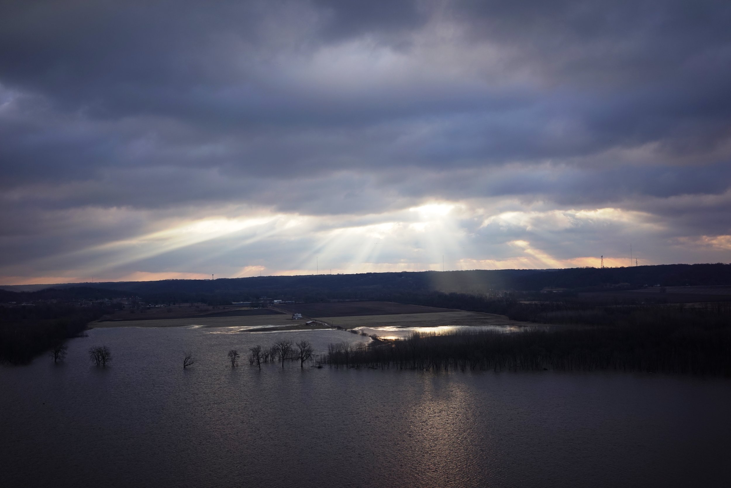
The Illinois River crested around noon on Monday February 26th in Peoria.andnbsp; While there are signs that the flood waters are receding, the flooding will likely hang around for about the next two weeks.andnbsp; The impacts of this year’s flooding have been mild with only 25.1 feet as the max so far. The flood event of April 2013 reached 29.35 feet besting a 70 year old record.andnbsp; The depth now is 4.25 feet lower than that event.andnbsp; Maurer-Stutz Unmanned took to the skies to view the flood waters.

Tags: Aerial Services, drones, Flooding, Illinois River, Maurer-Stutz Unmanned, Photography, UAS, UAV
https://www.mstutz.com/wp-content/uploads/2018/02/DSC01180b.webp 1668 2500 Maurer-Stutz https://www.mstutz.com/wp-content/uploads/2026/08/Logo-1030x301.webp Maurer-Stutz2018-02-27 21:03:142018-02-27 21:03:14Peoria only sees ‘Moderate Flooding’ so far
You might also like
Maurer-Stutz, Inc. expands to provide Aerial Services with Maurer-Stutz Unmanned
Tower Inspections with Maurer-Stutz Unmanned
Search Search

Categories

  • Events
  • Geospatial Project
  • GIS Industry News
  • MSGS News
  • Uncategorized

Tags

49" Monitor Admin Aerial Services AGLA announcement ArcGIS ArcGIS Earth ArcGIS Online Basic GIS Cartogrpahy Chattanooga Chicago conferences construction Consulting Dell drones East Peoria employee Enterprise GIS Esri Ethics examples Fiber Fulton GEOGRAPH GIS Hiking ILGISA ISU Jelly Belly Kanban Leadership Maps marketing MSI new Parks Partnership Portal Surveying UAS URISA VSM webgis
  • Home
  • Services
  • News
  • About Us
  • Careers
  • Contact
@2026 Maurer-Stutz. All Rights Reserved. | Privacy Policy
Link to: ASCE Engineers Week Bridge Contest Link to: ASCE Engineers Week Bridge Contest ASCE Engineers Week Bridge Contest Link to: Tower Inspections with Maurer-Stutz Unmanned Link to: Tower Inspections with Maurer-Stutz Unmanned Tower Inspections with Maurer-Stutz Unmanned
Scroll to top Scroll to top Scroll to top