Maurer-Stutz
  • Home
  • Services
    • Agricultural and Livestock Engineering
      • Livestock Facility Planning and Design
    • Conservation and Natural Resources
    • Site Development and Private Civil
      • Transportation
      • Surveying Support
    • Municipal and Public Works
      • Water Systems
      • Wastewater Systems
      • Transportation
      • Construction Engineering and Observation
    • Structural Engineering
    • Surveying and Geospatial
      • GIS / Geospatial Solutions
      • Land Surveying
  • News
  • About Us
    • Licensure and Prequals
  • Careers
  • Contact
  • Click to open the search input field Click to open the search input field Search
  • Menu Menu

Tower Inspections with Maurer-Stutz Unmanned
April 23, 2018/in Uncategorized/by Maurer-Stutz

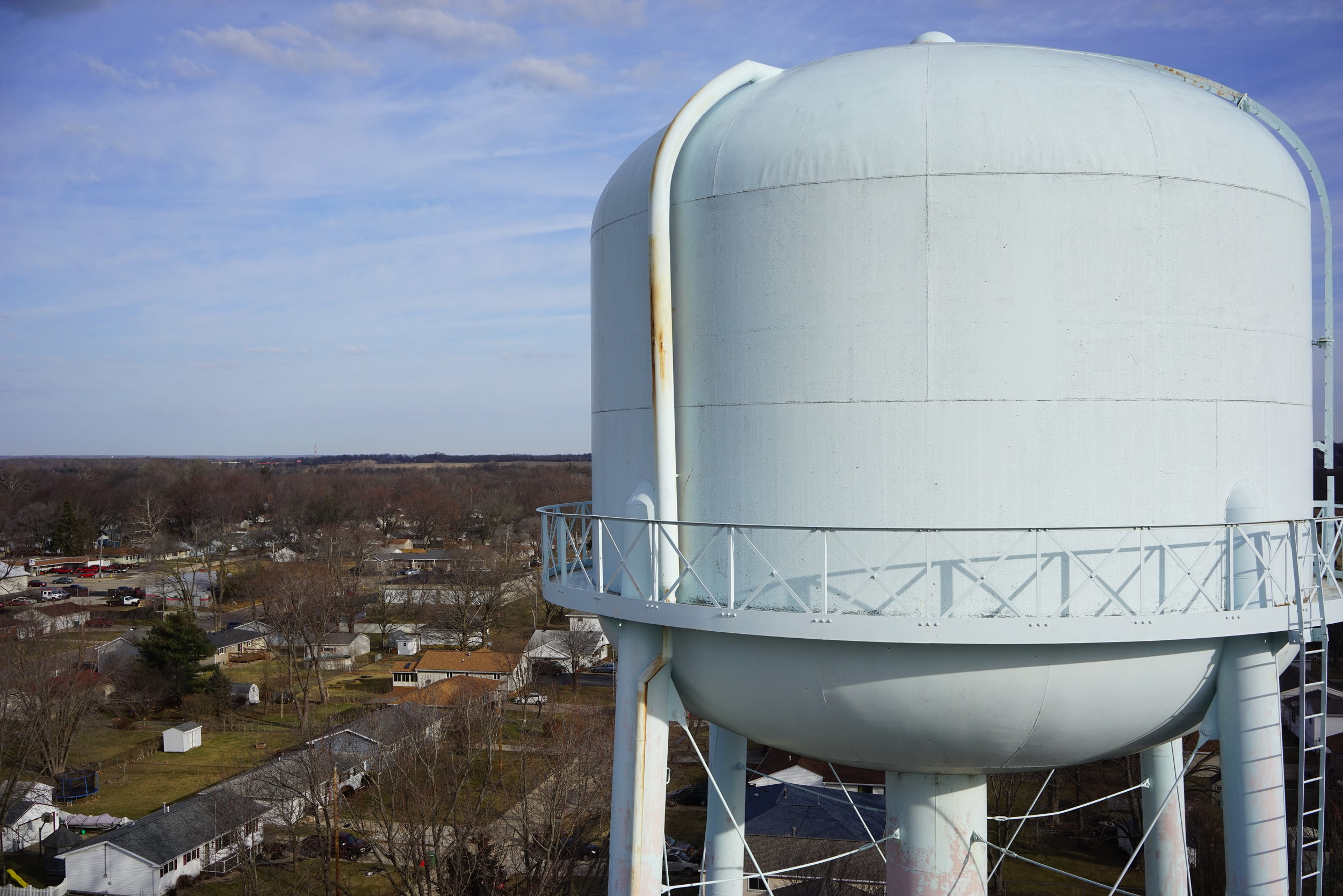
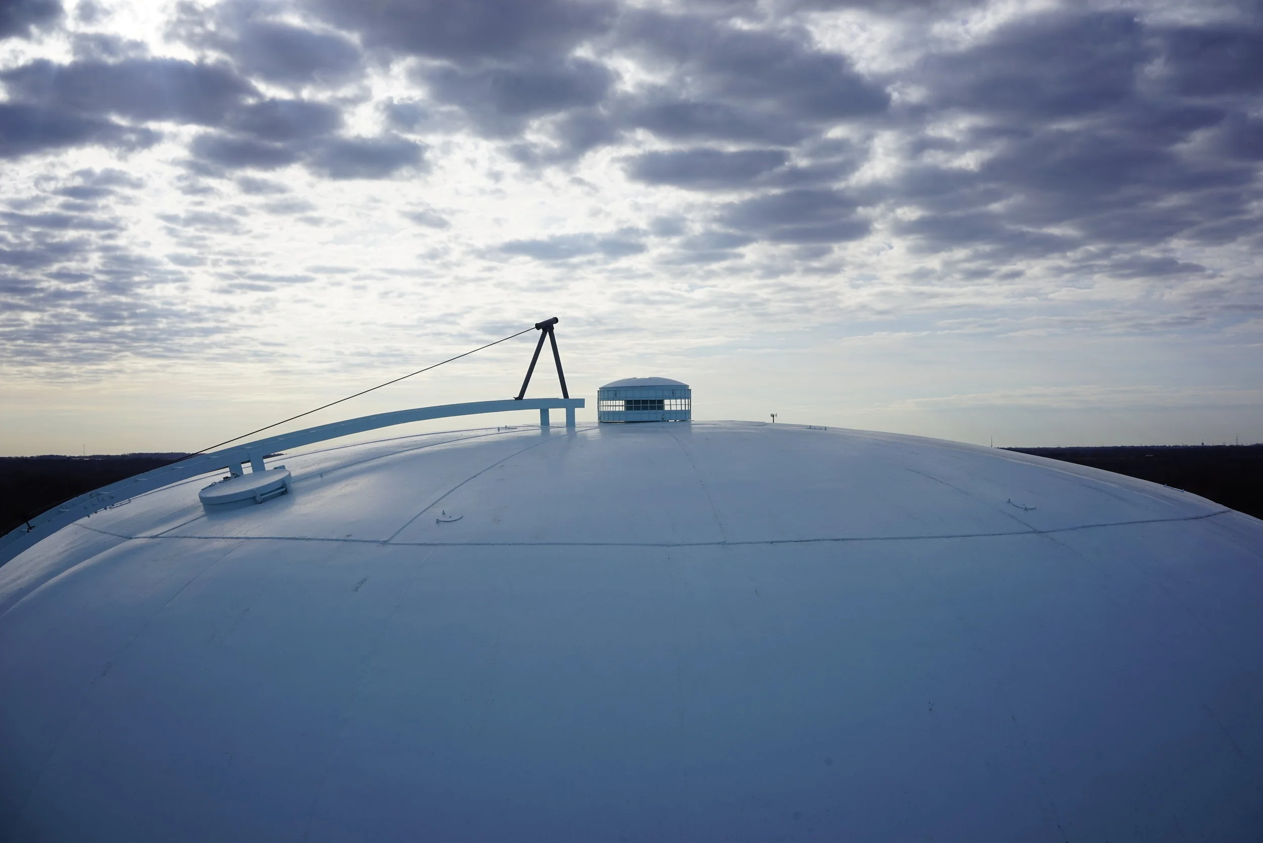
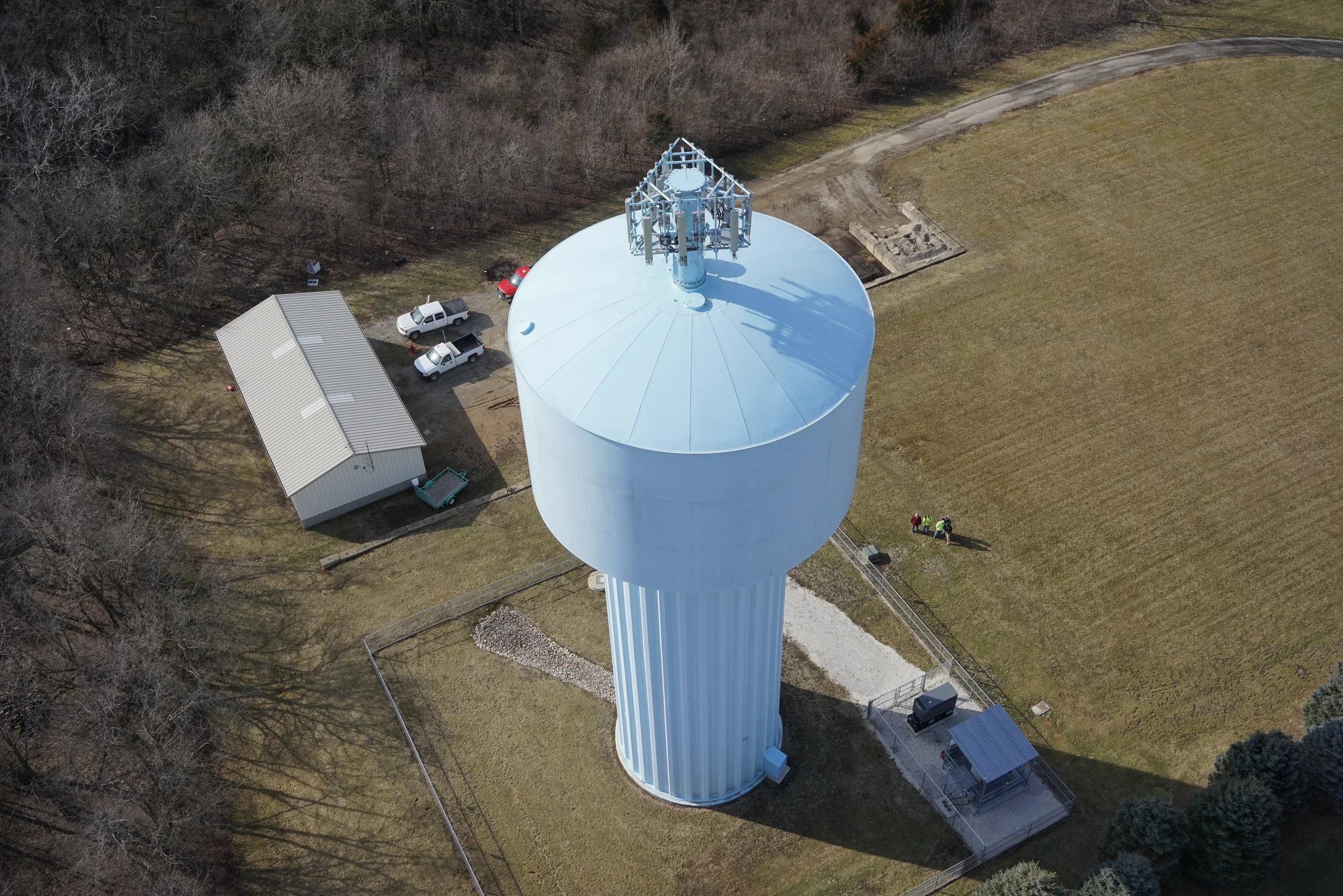
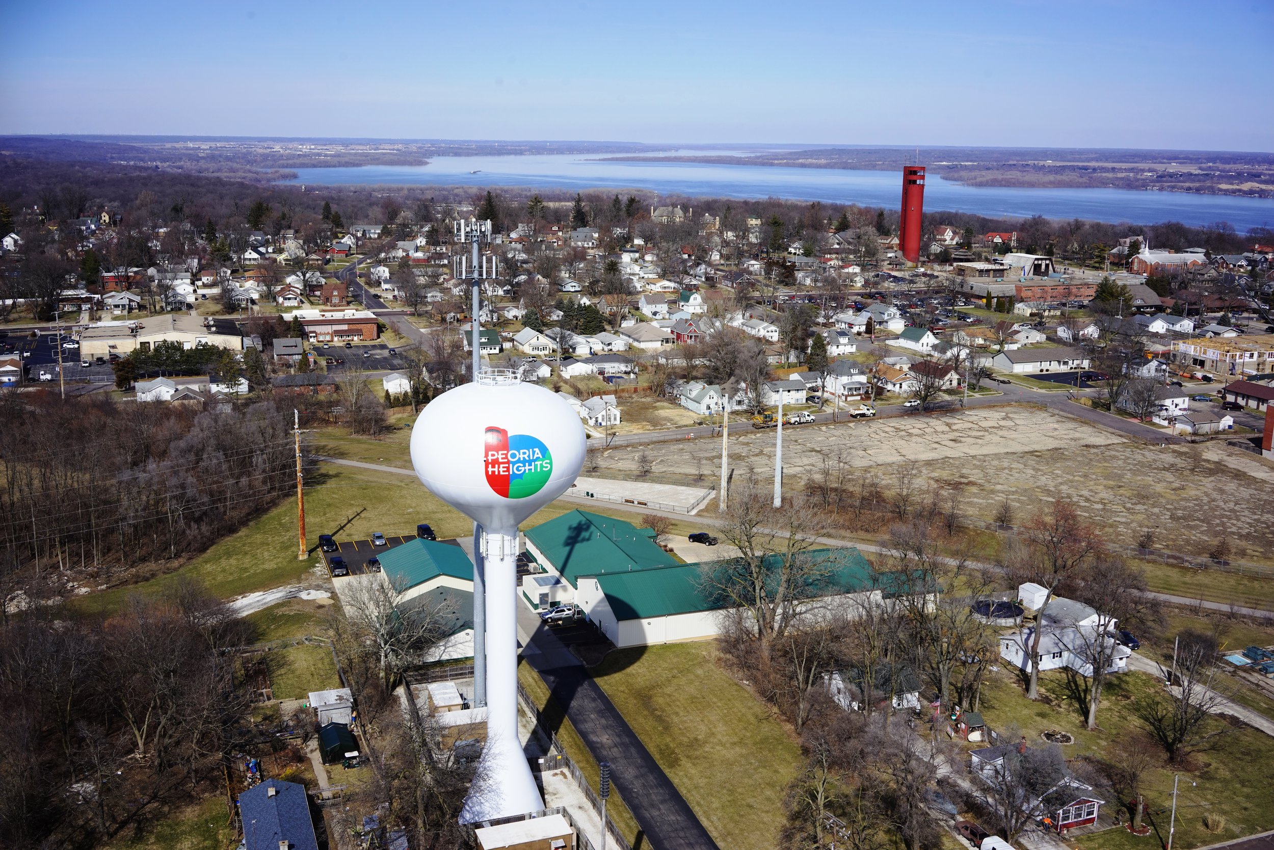
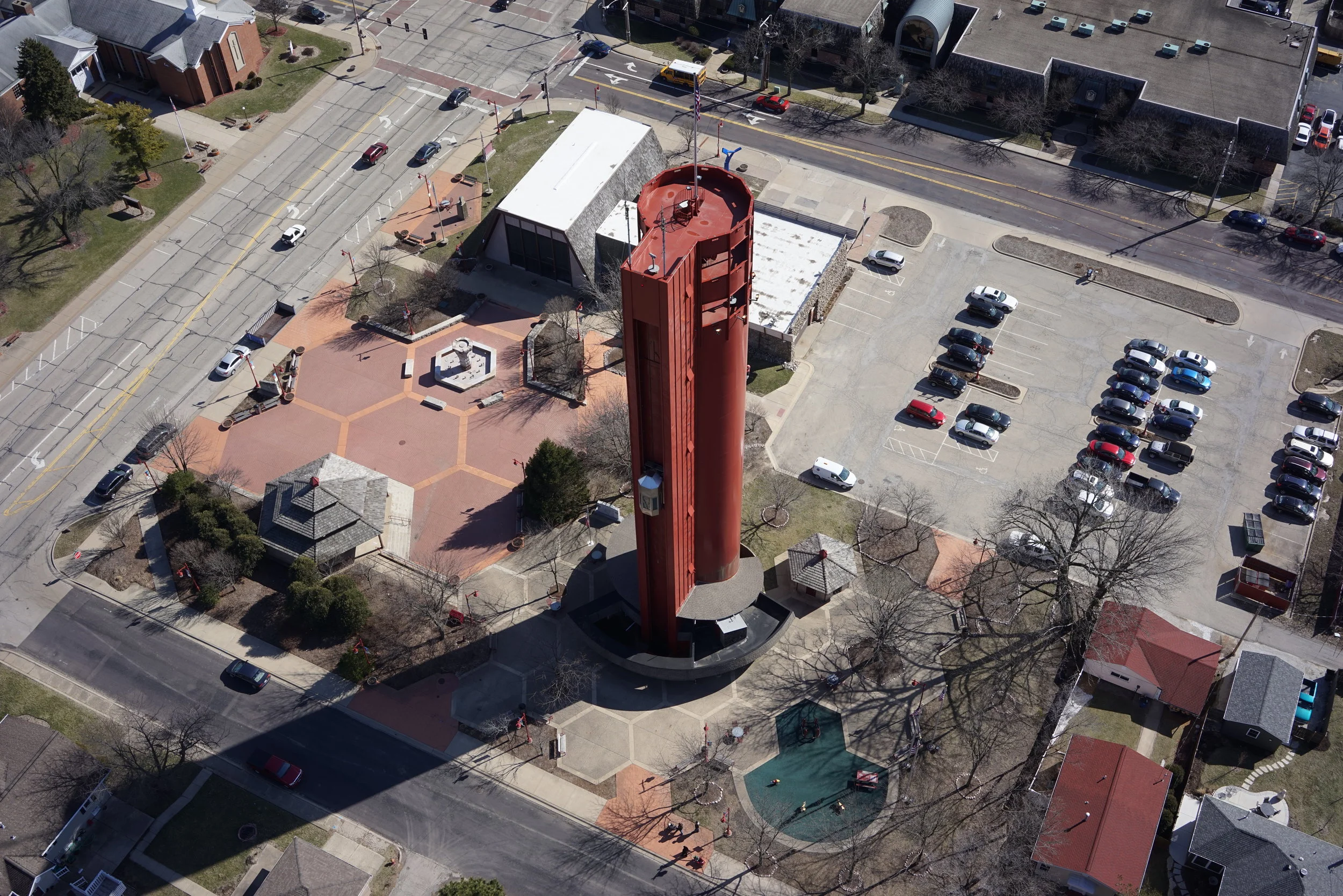
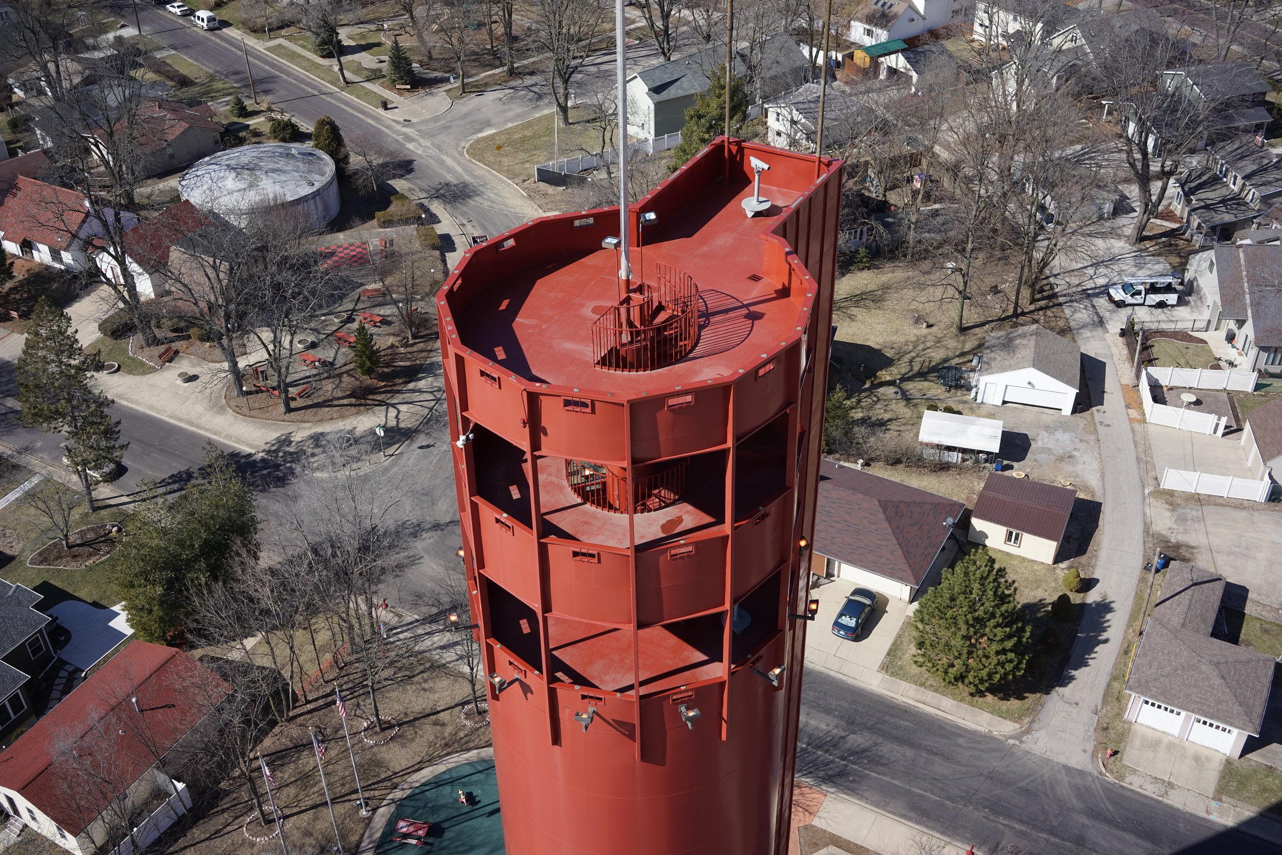
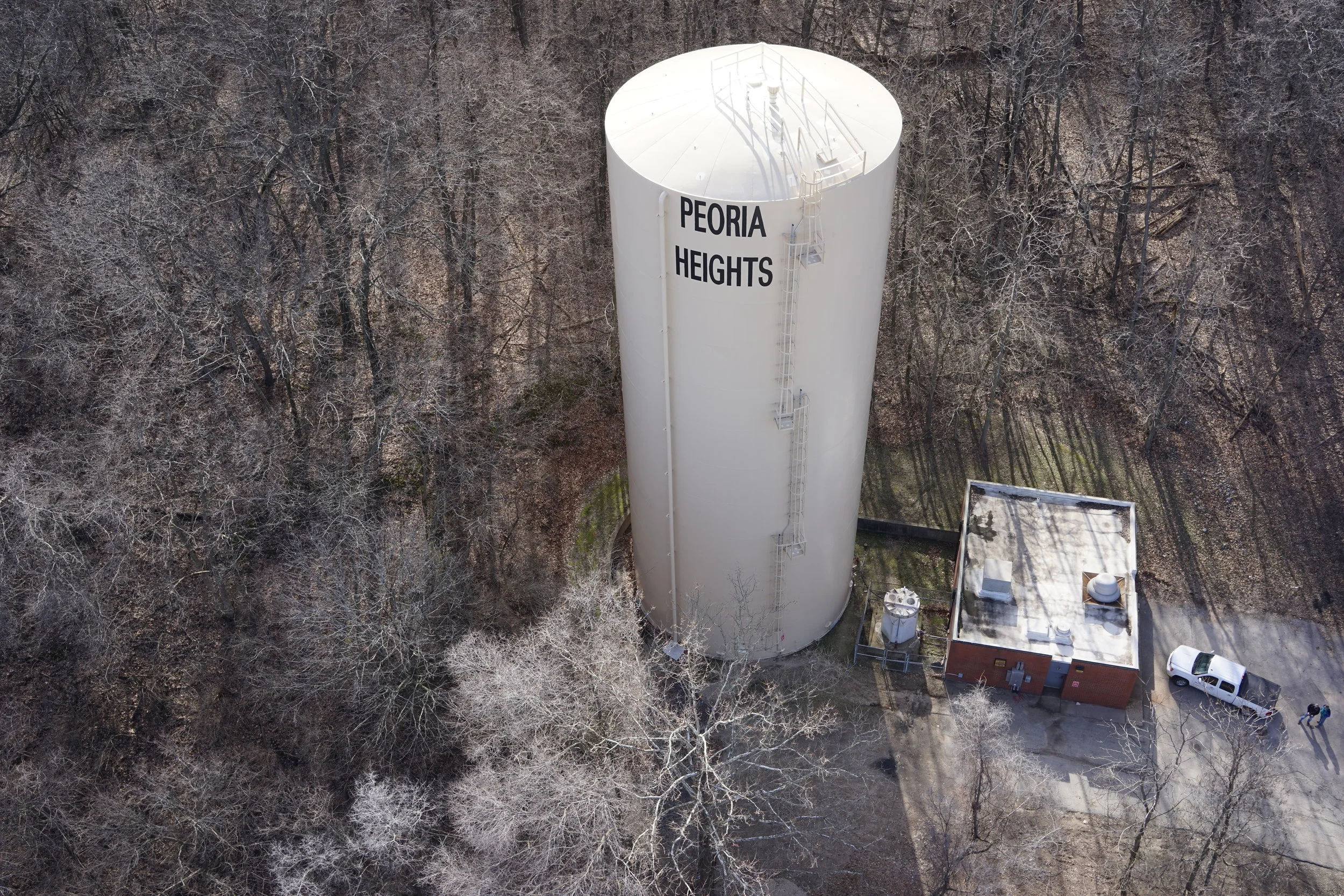
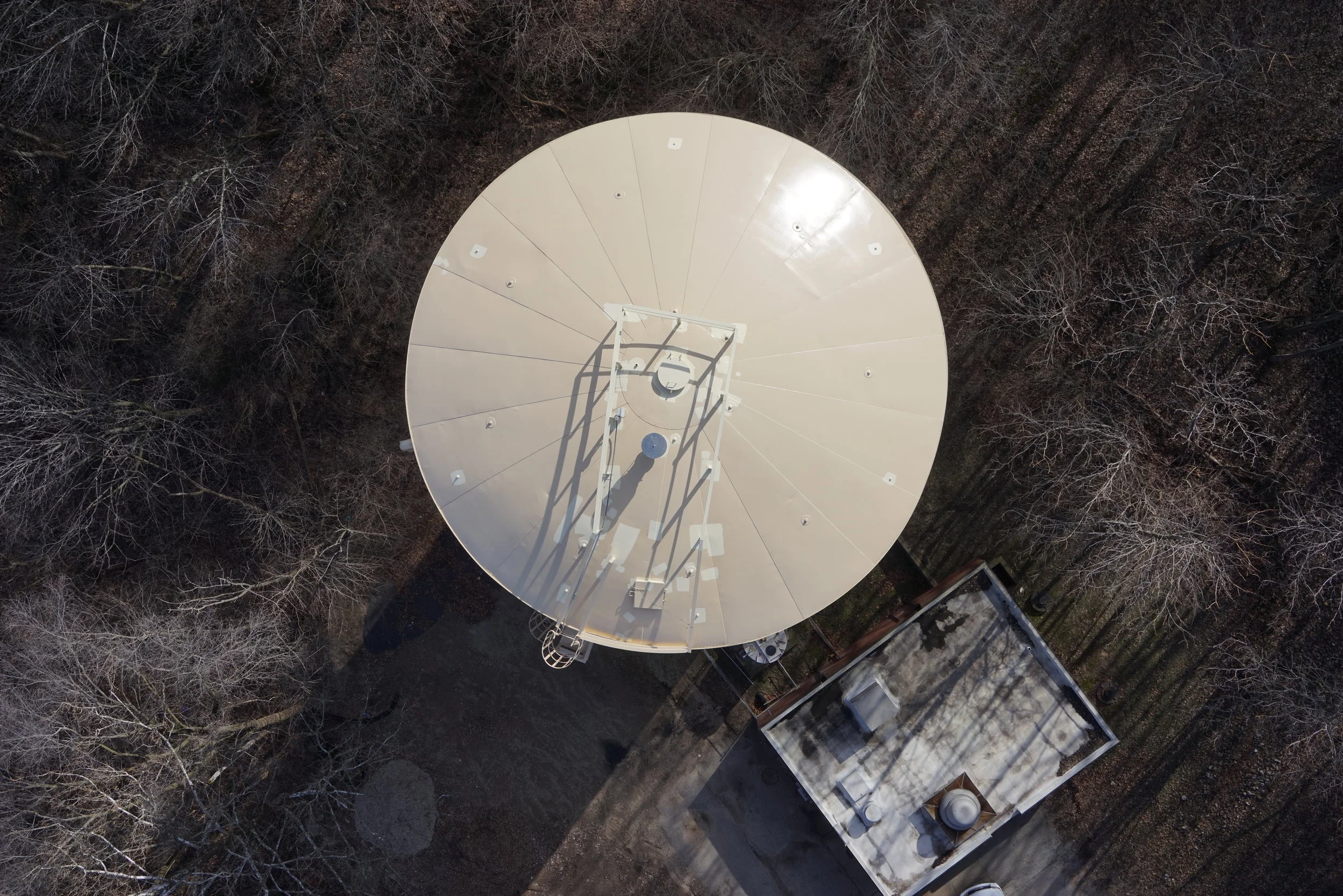
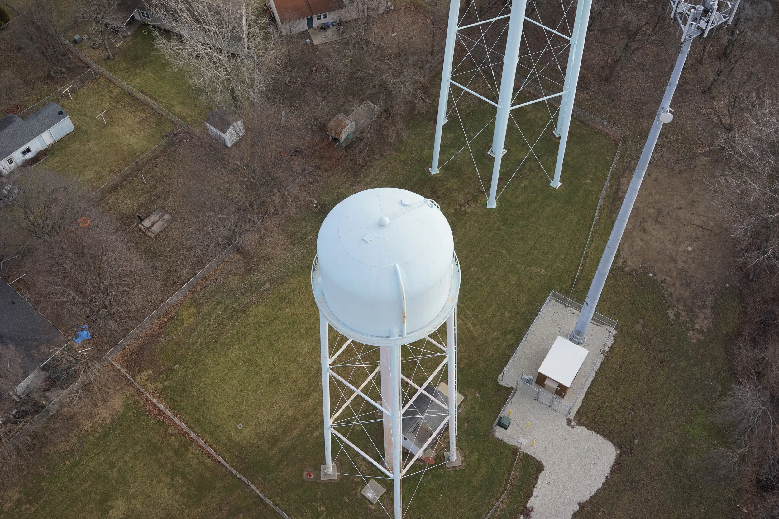
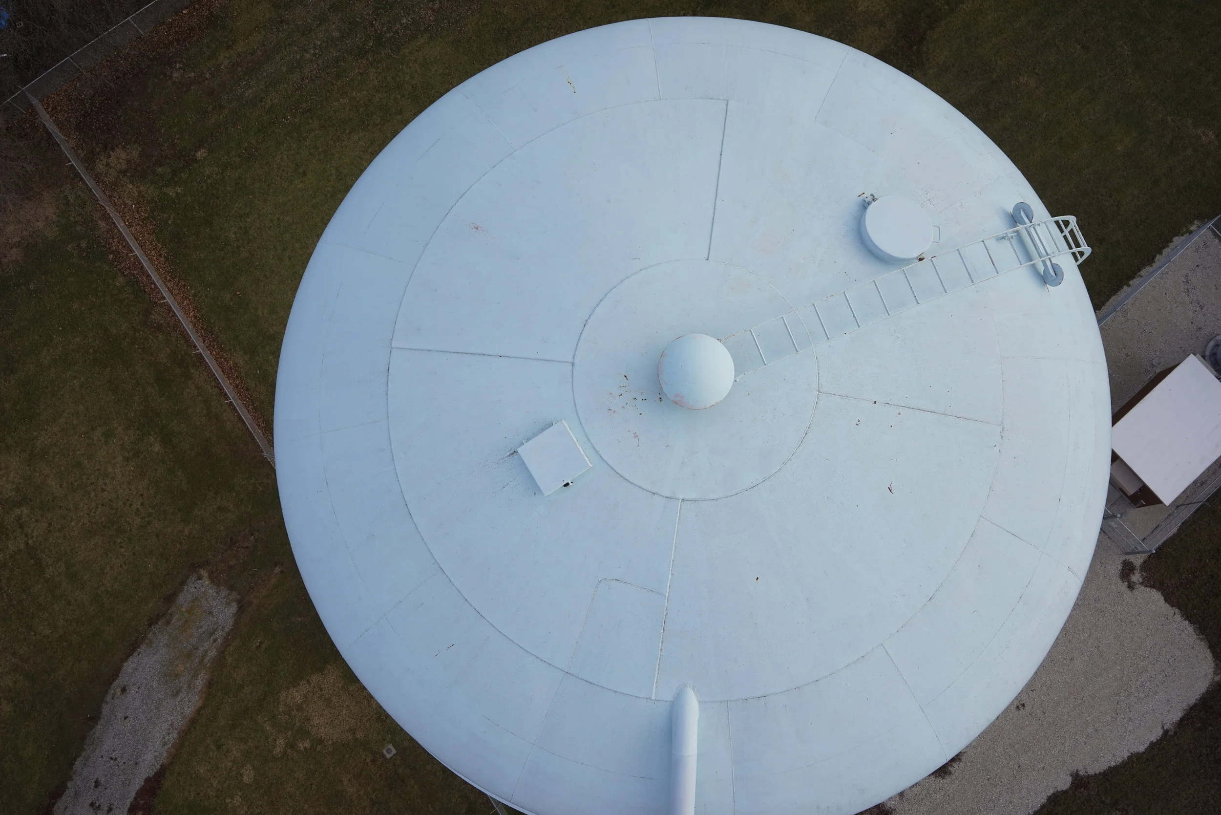
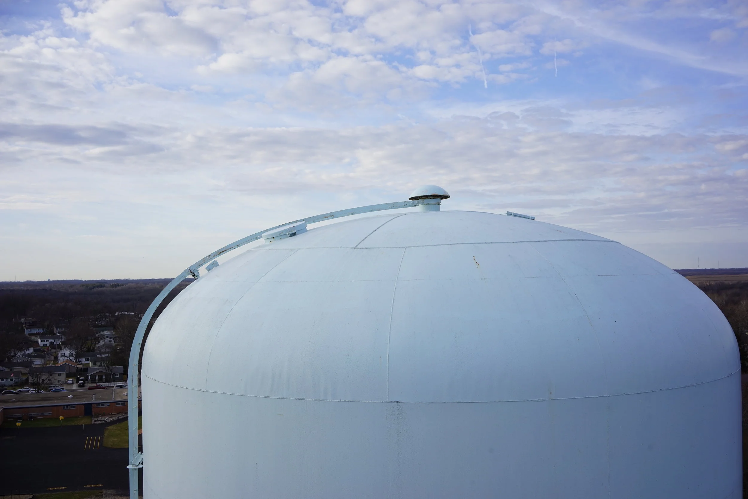
Maurer-Stutz Unmanned has been out and about doing some Water Tower Inspections in the Peoria Area!

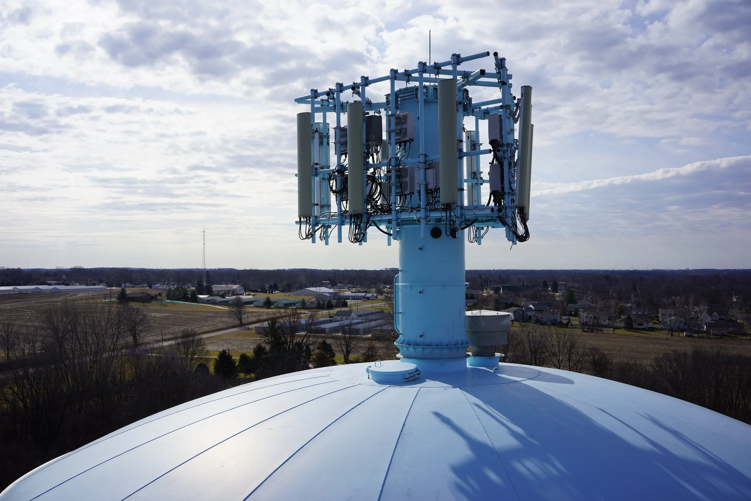
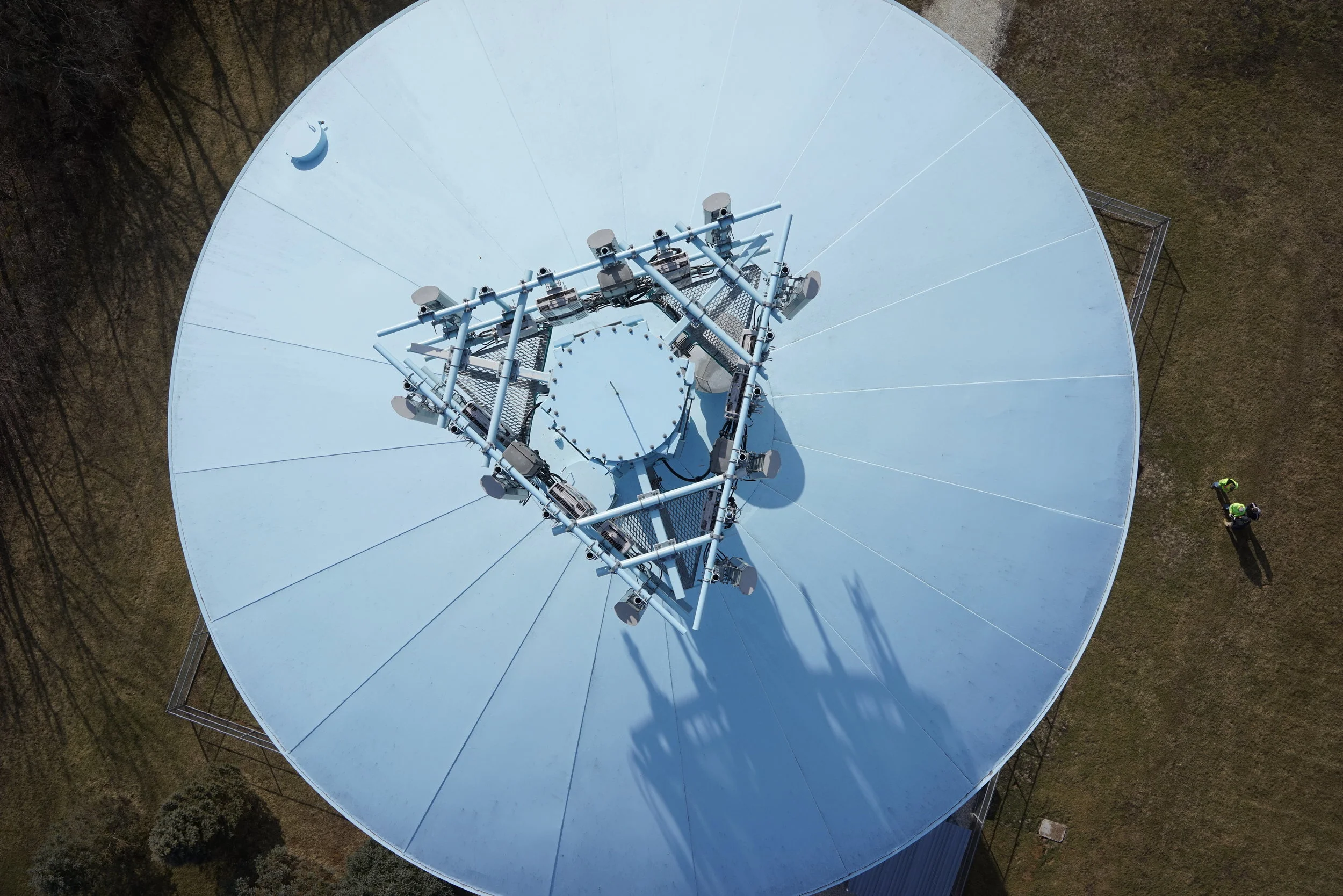
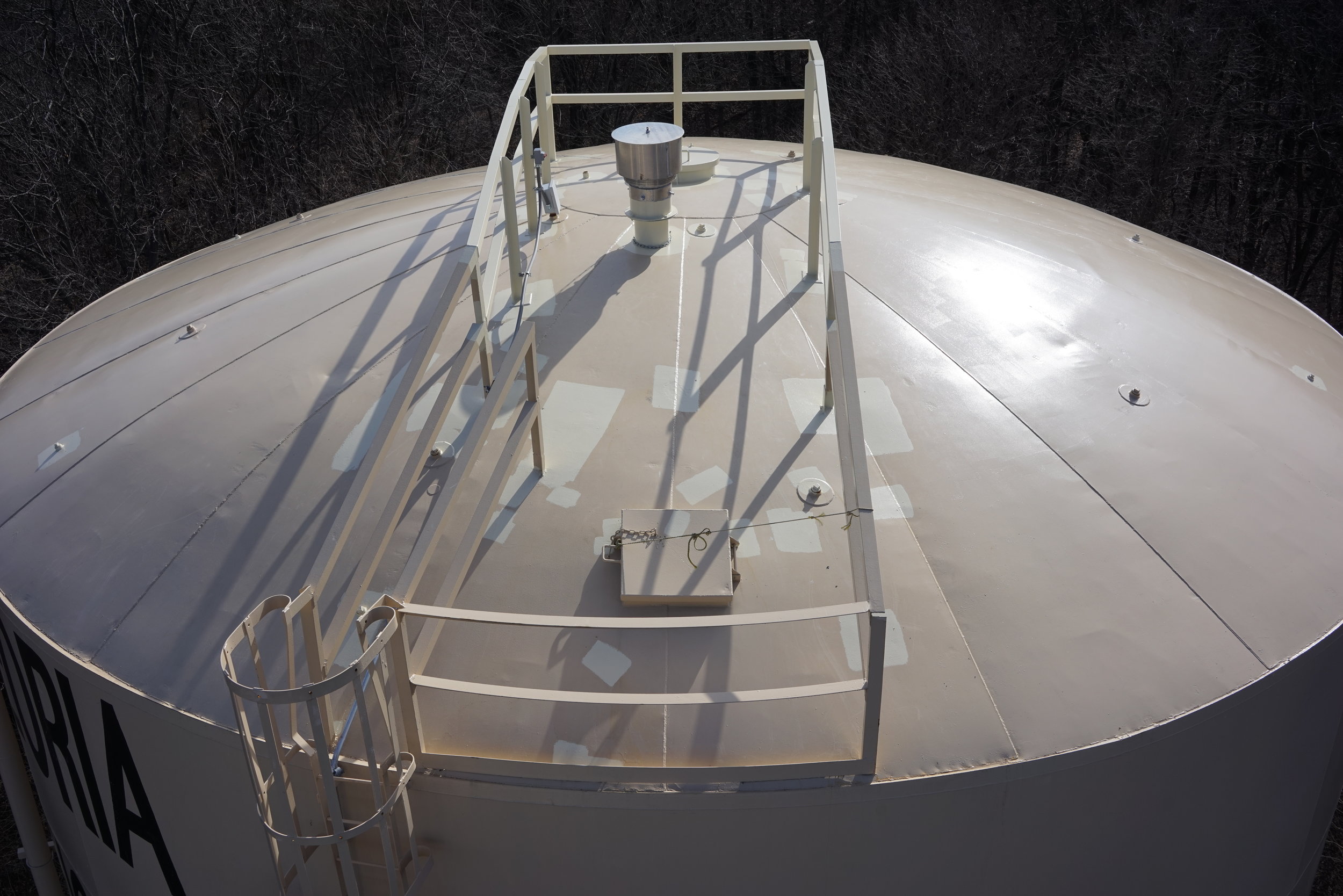
Have you had a need to inspect something that is difficult or relatively unsafe to reach?andnbsp; In the case of water towers that is usually the case.andnbsp; In the days of our aging infrastructure, some towers have become unsafe just to climb the ladder halfway up.andnbsp; The solution is to use drones!andnbsp; By flying an Unmanned Aerial Vehicle (UAV) that is equipped with a high resolution camera, Maurer-Stutz Unmanned is capable of gaining some of the most valuable data with respect to water towers in minutes!andnbsp; It can be as simple as checking to see if the lid is closed or assessing the extent of rust and corrosion of the tank.andnbsp; Other examples include checking work after a contractor completes maintenance, surveying the impacts of wildlife on equipment, and inspecting for structural fatigue or damage.

Hazards like cellular antennas mounted on or near the tower pose serious health risks for inspectors when they are exposed to full strength signals in close proximity.andnbsp; These hazards require lengthy and cumbersome coordination with other organizations and agencies.andnbsp; That advance coordination typically ends up being the longest part of the entire inspection process.andnbsp; By using a drone,andnbsp;we are able to obtain the necessary data without putting someone in harms way or having to go through all of the advance coordination.

Tags: Aerial Surveying, drones, remote sensing, tower inspection
https://www.mstutz.com/wp-content/uploads/2018/04/DSC01404B.webp 1668 2500 Maurer-Stutz https://www.mstutz.com/wp-content/uploads/2026/08/Logo-1030x301.webp Maurer-Stutz2018-04-23 18:23:552018-04-23 18:23:55Tower Inspections with Maurer-Stutz Unmanned
You might also like
Peoria only sees ‘Moderate Flooding’ so far
Search Search

Categories

  • Events
  • Geospatial Project
  • GIS Industry News
  • MSGS News
  • Uncategorized

Tags

49" Monitor Admin Aerial Services AGLA announcement ArcGIS ArcGIS Earth ArcGIS Online Basic GIS Cartogrpahy Chattanooga Chicago conferences construction Consulting Dell drones East Peoria employee Enterprise GIS Esri Ethics examples Fiber Fulton GEOGRAPH GIS Hiking ILGISA ISU Jelly Belly Kanban Leadership Maps marketing MSI new Parks Partnership Portal Surveying UAS URISA VSM webgis
  • Home
  • Services
  • News
  • About Us
  • Careers
  • Contact
@2026 Maurer-Stutz. All Rights Reserved. | Privacy Policy
Link to: Peoria only sees ‘Moderate Flooding’ so far Link to: Peoria only sees ‘Moderate Flooding’ so far Peoria only sees ‘Moderate Flooding’ so far Link to: Maurer-Stutz Sponsors the 2018 Women Changing the Face of Agriculture event at University of Illinois Link to: Maurer-Stutz Sponsors the 2018 Women Changing the Face of Agriculture event at University of Illinois Maurer-Stutz Sponsors the 2018 Women Changing the Face of Agriculture event...
Scroll to top Scroll to top Scroll to top