
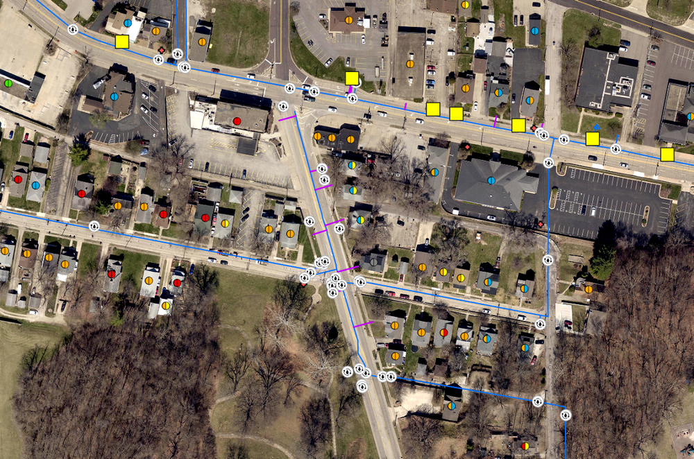
Utility Networking / Canton, IL
Canton, IL sought to update their utility data to better understand the connectivity of their water lines, automate data analysis, and create a visual representation of their water networks. By applying customized rules and parameters, the Utility Network provides clients with a deeper understanding of their systems while enhancing security and operational efficiency.
Using the Utility Network extension in ArcGIS Pro, we can transform existing utility data into a detailed, interconnected model featuring components such as pipelines and valves. This advanced system allows us to track how water moves through the community and helps mitigate risks, such as water main breaks, by enabling pipe isolation and tracing the issue through upstream or downstream analysis.
