

ArcGIS Earth Actually Isn't That Bad!
When I first explored ArcGIS Earth, I wasn’t expecting much—it’s a free tool from Esri that looks like a Google Earth clone. But after using it for a while, I’ve come to appreciate its unique capabilities, even if it’s not perfect. ArcGIS Earth is surprisingly good at allowing users to quickly visualize and interact with spatial data in 2D and 3D. It supports a variety of formats, including KML, shapefiles, and imagery, making it versatile for simple GIS viewing needs.
Geospatial > The Layer File > ArcGIS Earth Actually Isn’t That Bad
When it comes to free GIS applications, expectations should be modest—but ArcGIS Earth is trying to defy the norm. Despite its somewhat modest reputation and certain rendering limitations, this tool offers a surprisingly robust experience for visualizing and interacting with geospatial data in 2D and 3D. Designed for both desktop and mobile environments, ArcGIS Earth provides intuitive capabilities for viewing most GIS files, conducting quick analyses, and navigating large datasets, all on a global scale.
This past ILGISA conference I gave a presentation called. “The Best GIS Viewer You're Probably Not Using” all about ArcGIS Earth. The presentation is here, but the best way to experience it is to just dive in.
ArcGIS Earth supports a wide range of formats, from shapefiles to KML/KMZ, GPX, and even OGC web services, allowing users to work with various data types seamlessly. Its 3D-first design also enables interactive analysis tools like line-of-sight views and elevation profiles, making it easier to plan and collaborate across teams, especially in infrastructure or environmental projects. You can customize the experience further to fit organizational workflows, enhancing usability and reducing the steep learning curve often associated with GIS software.
Customization
One of its standout capabilities is the ability to configure the application using custom configuration files. This feature allows administrators to tailor user experiences by adjusting default settings, defining data sources, and controlling functionality based on organizational needs. These customizations ensure a consistent environment across teams, aligning ArcGIS Earth with specific project or enterprise requirements. A configuration file can be saved on a shared drive or even online.


Another useful feature is the option to save and share workspaces. Users can preserve their current map views, layers, and data configurations as workspaces, enabling easy retrieval and continuation of projects. This functionality streamlines collaboration by allowing users to share complex setups with colleagues, ensuring consistent visualization and analysis across teams. Together, these tools make ArcGIS Earth more flexible and user-friendly, accommodating both individual customization and team-based workflows
Summary
Despite some challenges with performance, particularly in rendering complex 3D datasets or point clouds, the platform excels in simplicity and accessibility. Its integration with ArcGIS Online and Enterprise allows you to share maps, sync data, and perform edits collaboratively across devices—whether you're in the office or out in the field. For many, ArcGIS Earth serves as a valuable entry point into advanced GIS tools or a convenient option for lightweight tasks that don't require the full power of ArcGIS Pro.
NOTE: Version 2.3 is slated for release in December of 2024 and should have a good set of upgrades (including performance updates and Survey123 integration)
Overall, ArcGIS Earth is more than just a free viewer; it's a practical, surprisingly capable solution for organizations looking to add a dynamic data and a 3D perspective to their workflows.
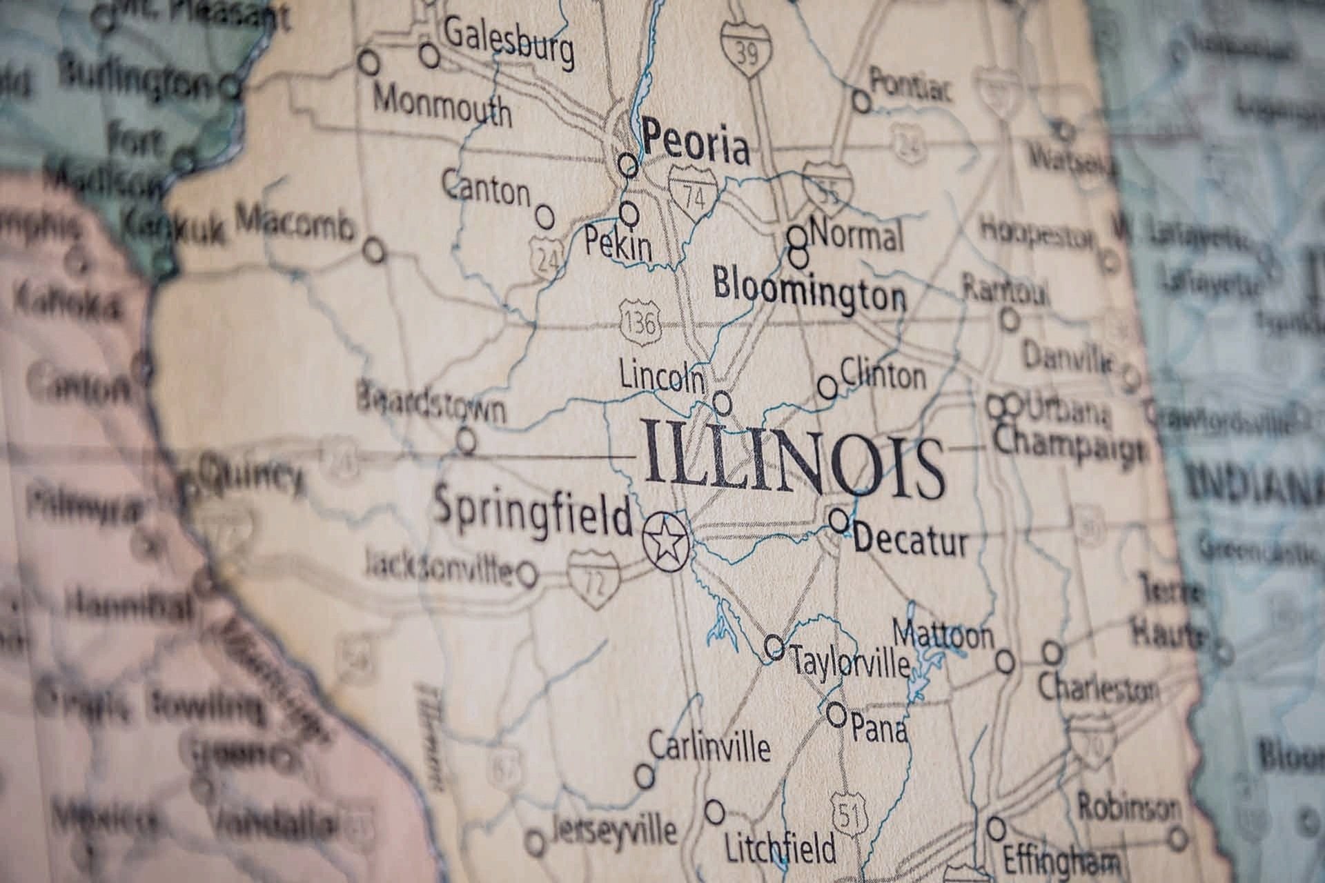
City, Village, or Town? Is there really a Difference?
When navigating the landscape of local government in Illinois, it's essential to understand the distinctions between villages, cities, and towns. While these terms may seem interchangeable, they refer to different forms of municipal governance, each with its own structure and rules.
Geospatial > The Layer File > City, Village or Town? Is there really a Difference?
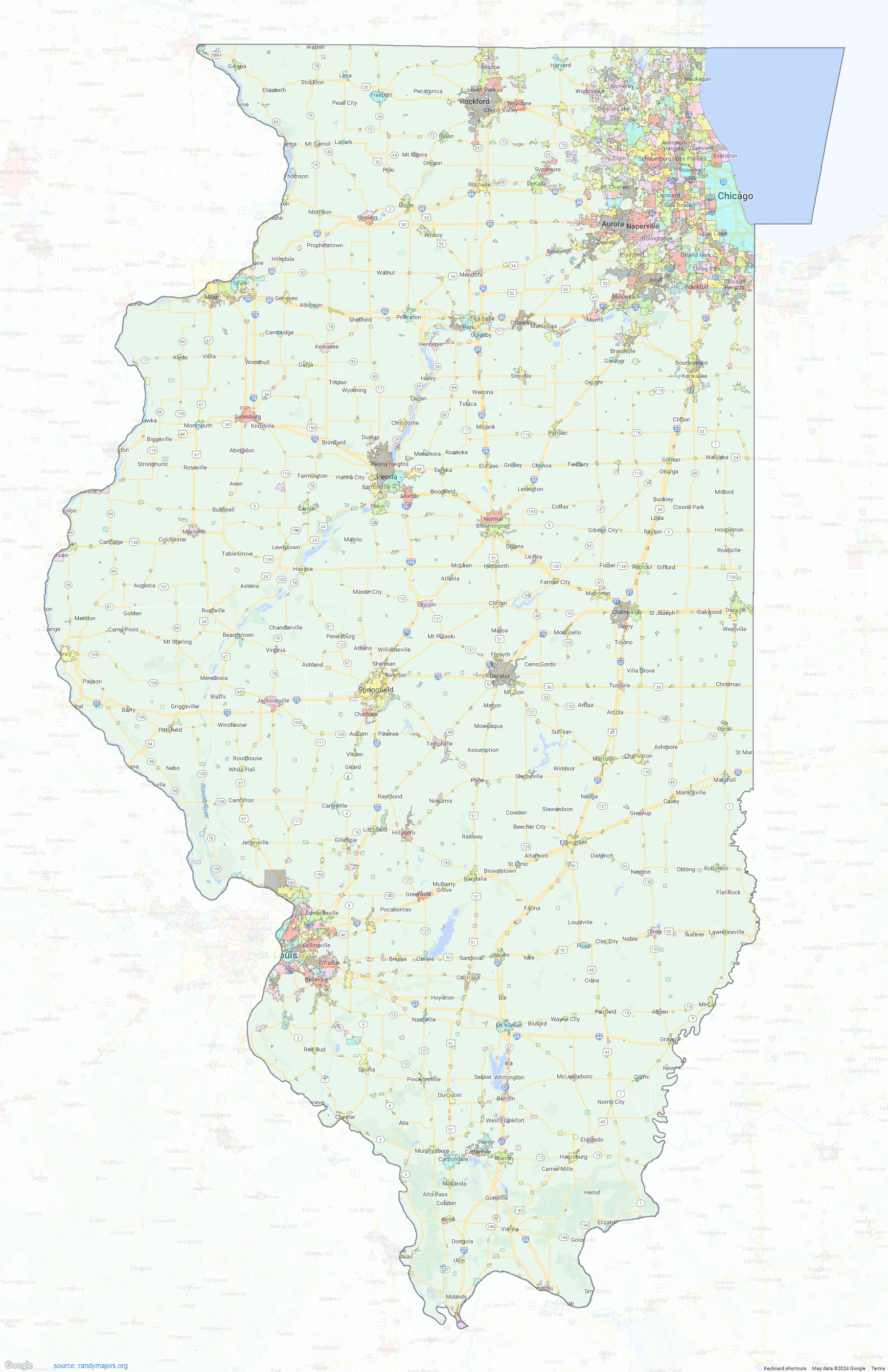
When navigating the landscape of local government in Illinois, it's essential to understand the distinctions between villages, cities, and towns. While these terms may seem interchangeable, they refer to different forms of municipal governance, each with its own structure and rules. So, what sets these three apart?
Villages vs. Cities
The primary difference between a village and a city in Illinois lies in their form of governance. Both villages and cities are types of municipal corporations, but they differ in their organization and powers.
Villages typically operate under a simpler governance model, often using a trustee-village form with a board of trustees and a village president (or mayor) to manage local affairs. This structure allows for a more hands-on, localized approach to governance, especially in smaller communities. Village boards make decisions on local ordinances, zoning, public safety, and services like water and sewer management, on the other hand, often have a more formal governance structure.
The aldermanic-city form is common, where alderpersons are elected to represent different wards, and the mayor acts as the chief executive officer. Cities generally offer a broader range of services and have the ability to levy taxes for more purposes compared to villages.
Larger cities may also adopt the strong mayor form, where the mayor has significant executive power, including the authority to appoint department heads without council approval. This system supports larger populations and more complex infrastructures .
Towns in Illinois
In contrast, towns in Illinois are more complex because the term “town” refers to a township in many cases, rather than a type of municipal government. Townships are a unique form of government in Illinois, focused primarily on rural and unincorporated areas. They manage services like road maintenance, property assessments, and social services for residents who live outside of municipal boundaries.
There are exceptions, such as Town of Normal, which functions similarly to cities in terms of governance and services but has retained "town" in its name for historical reasons. However, this is simply a stylistic choice, as the town functions similarly to cities in terms of governance and services.
Variations
Variations in municipal government can go beyond the basic distinctions between villages and cities, Illinois municipalities can also adopt more specific forms of governance:
Commission Form: This form, limited to municipalities with populations under 200,000, allows voters to elect a mayor and four commissioners. Each commissioner has executive control over specific administrative departments, such as public safety or public improvements .
Managerial Form: Available to municipalities with populations under 500,000, this form retains the legislative powers of the council or board while a professional municipal manager handles administrative and executive duties. The manager can appoint and remove department heads and oversee day-to-day operations .
Strong Mayor Form: In larger municipalities, this form grants the mayor significant executive power, including the ability to appoint and remove department heads without the city council's advice and consent. This is typically adopted in larger cities where executive oversight is critical .
Choosing Between Them
When communities decide whether to incorporate as a village, city, or remain part of a township, the choice often comes down to population size, infrastructure needs, and preferences for governance. Villages work well for smaller, tight-knit communities, while cities are better equipped to handle the complexities of larger populations. Townships, meanwhile, offer governance over broader, often rural areas, where municipal services are less in demand.
Understanding these distinctions is crucial for residents and businesses alike as they navigate local governance in Illinois. Each form offers unique advantages, tailored to the needs of the community, with varying levels of autonomy, services, and governance structures
Sources:
Illinois Municipal League (IML) - Forms of municipal government in Illinois.
Illinois Municipal Code - Governance and Powers of Cities.
Chicago Tribune - Strong Mayor Systems in Large Illinois Cities.
Township Officials of Illinois (TOI) - Understanding Township Government.
Town of Normal, Illinois - Municipal Governance Overview.
Illinois Municipal League (IML) - Commission Form of Government.
Illinois Municipal Code - Managerial Form and Role of City Managers.
Illinois Municipal League (IML) - Strong Mayor Form of Government.
Illinois State Board of Elections - Incorporation and Governance Choices in Illinois.
https://mapgeeks.org/illinois/
These sources help clarify the legal and functional distinctions between cities, villages, and townships in Illinois.