The Layer File
Learn more about our recent GIS projects, events we attended, and Geospatial Industry news.

Learn more about our recent GIS projects, events we attended, and Geospatial Industry news.
This blog allows us to communicate details about our recent projects, technical discoveries, or events.

Maurer-Stutz Geospatial Services is excited to introduce our newest contracting solution, Geospatial Solutions Plans! These subscription-based, block-of-hours contracts are idea for organizations large and small that need the flexibility of a top tier geospatial consultant on demand.
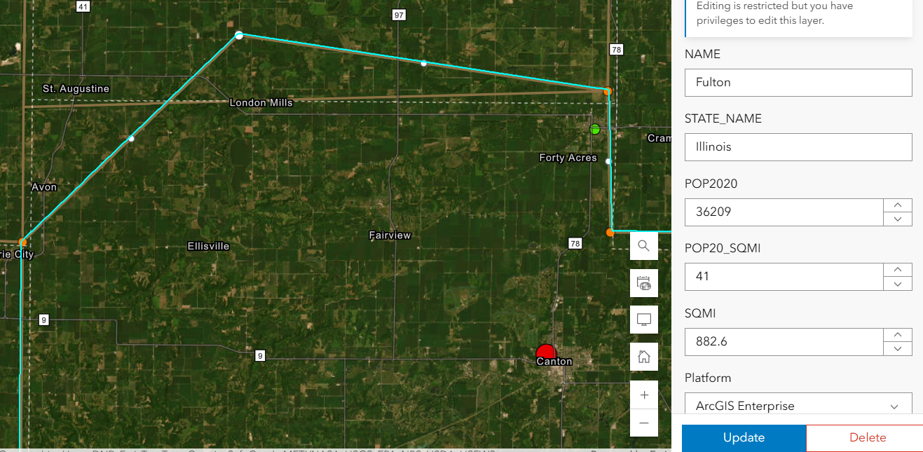
Here’s the setup: You’ve carefully crafted a web map and application in ArcGIS Online. The data is perfect, the configurations are solid, and you’re ready to share it with your team. But then, you notice something alarming — edits are possible when they shouldn’t be. Despite your best efforts to lock things down, the data is still editable in ways you may not want. This was the exact situation we faced recently. Here’s how we untangled the mystery and discovered (via tech support) a hidden pitfall in group permissions that every ArcGIS Online user should know about.
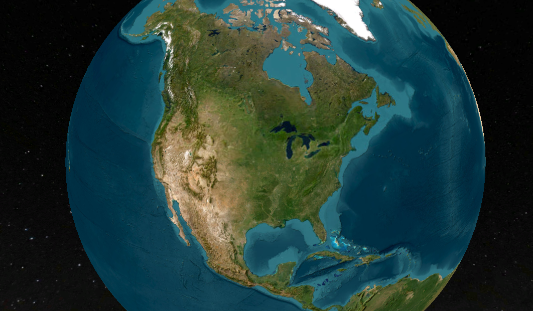
When I first explored ArcGIS Earth, I wasn’t expecting much—it’s a free tool from Esri that looks like a Google Earth clone. But after using it for a while, I’ve come to appreciate its unique capabilities, even if it’s not perfect. ArcGIS Earth is surprisingly good at allowing users to quickly visualize and interact with spatial data in 2D and 3D. It supports a variety of formats, including KML, shapefiles, and imagery, making it versatile for simple GIS viewing needs.
Join us on November 20 for GIS Day, part of American Association of Geographers’ Geography Awareness Week, as we celebrate the impact of Geographic Information Systems in solving real-world challenges! Established by Esri in 1999, GIS Day brings together GIS professionals, students, and curious minds worldwide to showcase how mapping technology helps us understand and improve the world around us.

The ILGISA 2024 Conference presented a comprehensive slate of sessions, workshops, and panels aimed at advancing GIS practices, tools, and knowledge-sharing for professionals across sectors. A significant theme was the usage of Esri software to address real-world challenges in local government, environmental management, utilities, transportation, and infrastructure.

When navigating the landscape of local government in Illinois, it’s essential to understand the distinctions between villages, cities, and towns. While these terms may seem interchangeable, they refer to different forms of municipal governance, each with its own structure and rules.
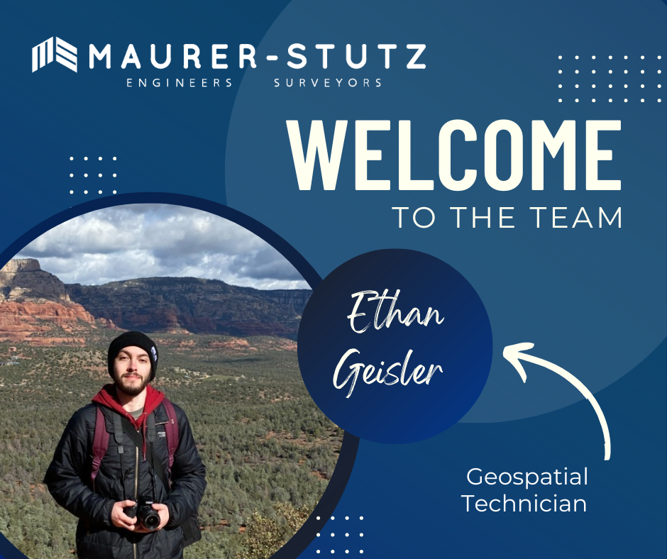
We are thrilled to welcome Ethan Geisler to the Maurer-Stutz Geospatial Services (MSGS) team. Ethan joins us as a Geospatial Specialist with a fresh degree in Geography from Illinois State University, and he’s eager to hit the ground running. With a background in GIS software like ArcGIS Pro and ArcGIS Online, Ethan brings a well-rounded skill set.
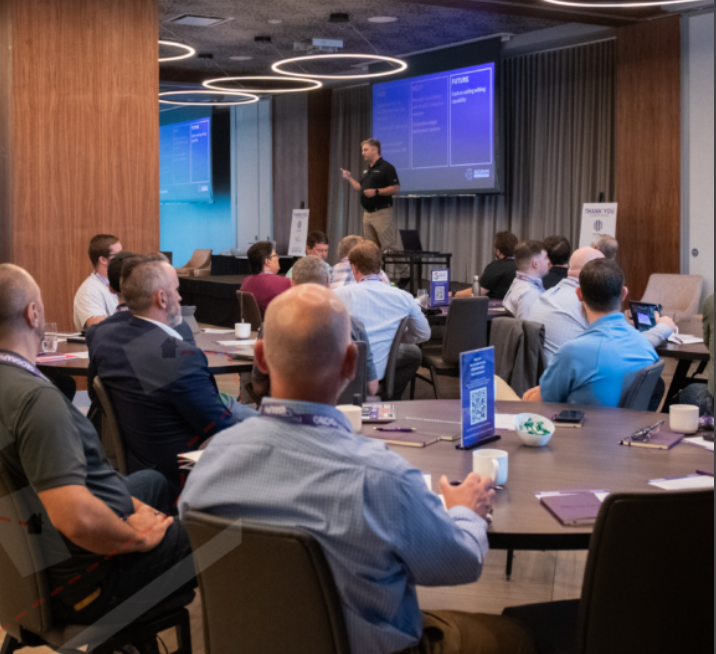
It’s September, which means the fall conference season is here. While our young team is still deciding which organizations to support and be a part of, there are a few that are a no brainer: ILGISA, IACE, EPN just to name three. Last week, Baylor and I both visited separate conferences to see if they would be good conferences to attend or even exhibit at in future years.
It’s September, which means the fall conference season is here. While our young team is still deciding which organizations to support and be a part of, there are a few that are a no brainer: ILGISA, IACE, EPN just to name three. Last week, Baylor and I both visited separate conferences to see if they would be good conferences to attend or even exhibit at in future years.
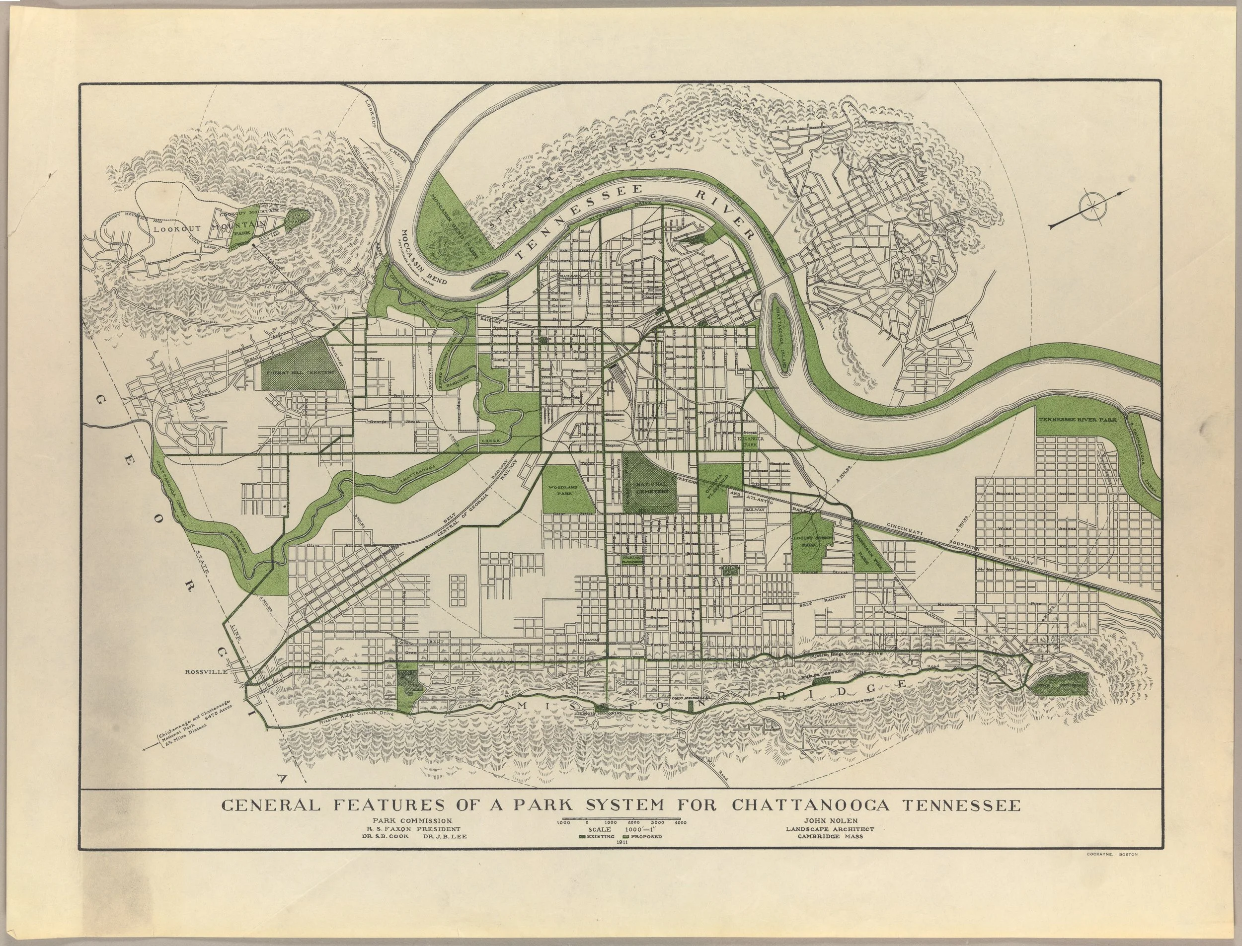
A map, a move, and a mission: MSGS Geospatial Engineer, Baylor Wagehoft, comments on the City of Chattanooga Tennessee and gives his thoughts on a historic, visionary map for the City’s Park System.


