The Layer File
Learn more about our recent GIS projects, events we attended, and Geospatial Industry news.

Learn more about our recent GIS projects, events we attended, and Geospatial Industry news.
This blog allows us to communicate details about our recent projects, technical discoveries, or events.

Last week, I had the opportunity to attend the URISA Advanced GIS Leadership Academy in Chicago, and it was a game-changer for how I approach both leadership and GIS. This intensive program brought together GIS professionals from across the country, each of us had unique challenges and insights, but all sharing some common experiences and struggles. It was a bit of therapy really. Among the many sessions, the ones on Value Stream Mapping and Personal Kanban really stood out to me.
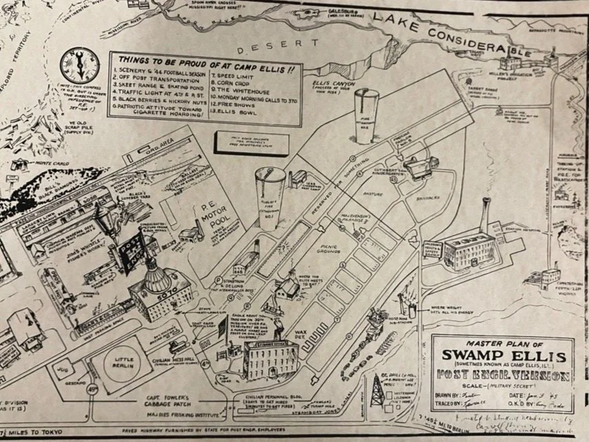
Nestled in the rural expanses of western Illinois, the remnants of Camp Ellis stand as a testament to a bygone era. This World War II training camp, located near the small town of Ipava in Fulton County, was a bustling hub of military activity with a population over 40,000 at it’s peak. We at Maurer-Stutz Geospatial Services have revived the old footprint of Camp Ellis and used it as a demonstration location for our GIS data, solutions, and applications. We call it: Ellis City
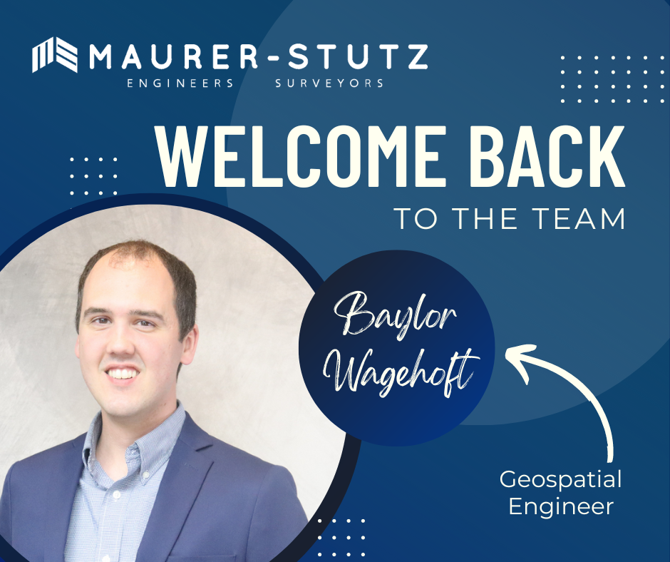
PEORIA, ILLINOIS (June 13, 2024) – The following statement was released today by Baylor Wagehoft, through his fake personal attorney and business manager Kart O. Graffee, Chairman of Mercator Acquisitions of Previous Staff (“MAPS”) located in Peoria, Illinois, in response to questions about his future career plans:
“I’m back.”

Lets admit it, we all go to conferences to get our own bags of stuff… and training, but really the stuff. Well, thanks to the great marketing strategy already established at Maurer-Stutz INC, We’ve got a whole storage room filled with SWAG to give away Plus some of our own.
Maurer-Stutz Inc. is excited to announce the launch of Maurer-Stutz Geospatial Services andnbsp;(MSGS), our newly revamped and dedicated geospatial division. With a clear vision and strategic direction, MSGS is set to elevate our geospatial capabilities to new heights. This is not a new bolt-on service, rather the effort is a transformative shift to the geospatial industry.
Maurer-Stutz Inc. is excited to announce the launch of Maurer-Stutz Geospatial Services andnbsp;(MSGS), our newly revamped and dedicated geospatial division. With a clear vision and strategic direction, MSGS is set to elevate our geospatial capabilities to new heights. This is not a new bolt-on service, rather the effort is a transformative shift to the geospatial industry.


